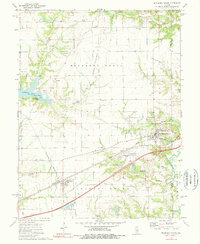
1974 Map of Mulberry Grove
USGS Topo · Published 1977About this map
The Penn Central and Burlington Northern railroads intersect just outside Mulberry Grove, defining the industrial and logistical character of this Bond County landscape. The mid-1970s terrain is marked by a mix of agricultural infrastructure and energy extraction, notably the Consolidated Oil Field which spans the central portion of the quadrangle along Woburn Road. Water features like Lick Creek and Hurricane Creek drain the area, while the southern reaches show the emerging recreational influence of the Carlyle Lake region.
Find a feature on this map
45 named features on this map. Tap any name to fly to it.
Don’t see what you’re looking for? This feature index may not catch every label — zoom into the map to look around manually.
Map Details
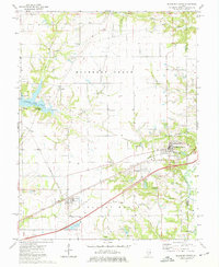
Editions of this 1974 Mulberry Grove Map
2 editions found
Other maps of this area

1932 · Greenville
USGS Topo · 1:62,500

1939 · Greenville
USGS Topo · 1:62,500

1943 · Greenville
USGS Topo · 1:62,500

1944 · Ramsey
USGS Topo · 1:62,500

1945 · Vandalia
USGS Topo · 1:62,500

1946 · Ramsey
USGS Topo · 1:62,500

1947 · Vandalia
USGS Topo · 1:62,500

1947 · Hillsboro
USGS Topo · 1:62,500

1949 · Hillsboro
USGS Topo · 1:62,500

1958 · Decatur
USGS Topo · 1:250,000