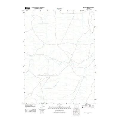
2012 Map of Mulkay Spring
USGS Topo · Published 2012About this map
Mulkay Spring and the winding course of Little Muddy Cr dominate this section of southwestern Wyoming, where the high desert terrain is defined by its water sources and sparse landmarks. This 2012 survey by the U.S. Geological Survey captures a landscape characterized by an intricate network of intermittent drainage and unimproved roads, reflecting the region's ranching and resource management needs. A prominent topographic landmark, Desertion Point, rises in the eastern portion of the quadrangle, overlooking the creek's meandering path. The map provides a clear look at the modern rural infrastructure, showing how local transit routes negotiate the arid basins and low ridges that define this part of the state.
Find a feature on this map
3 named features on this map. Tap any name to fly to it.
Don’t see what you’re looking for? This feature index may not catch every label — zoom into the map to look around manually.
Map Details
Editions of this 2012 Mulkay Spring Map
This is the sole edition of this map. No revisions or reprints were ever made.
Other maps of this area

1954 · Ogden
USGS Topo · 1:250,000

1958 · Ogden
USGS Topo · 1:250,000

1960 · Ogden
USGS Topo · 1:250,000

1962 · Cumberland Gap
USGS Topo · 1:24,000

1962 · Elkol
USGS Topo · 1:24,000

1964 · Carter
USGS Topo · 1:24,000

1964 · Austin Reservoir
USGS Topo · 1:24,000

1965 · Bridger
USGS Topo · 1:24,000

1969 · Roberson Creek
USGS Topo · 1:24,000

1969 · Hampton
USGS Topo · 1:24,000