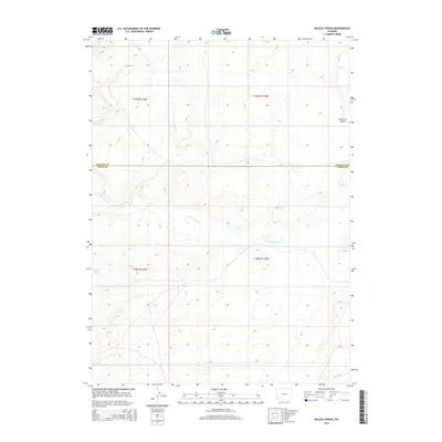
2015 Map of Mulkay Spring
USGS Topo · Published 2015About this map
Mulkay Spring emerges in the southwestern corner of this high-country landscape, serving as a vital water source in an arid stretch of the Wyoming basin. This 2015 survey details the sparse and remote terrain where the Little Muddy Cr meanders across township lines in the northern reaches of Uinta County. The geography is defined by a series of draws and ridges, most notably at Desertion Point, where the land drops away towards the drainage systems of the interior. Spanning the border of Lincoln and Uinta Counties, the map documents the Lincoln Co / Uinta Co line as it cuts through a region dominated by public land surveys and sectioned grazing tracts. The absence of modern development highlights the preserved state of this high-desert environment, where the historical pattern of water-dependent land use remains the primary feature of the human imprint on the land.
Find a feature on this map
8 named features on this map. Tap any name to fly to it.
Don’t see what you’re looking for? This feature index may not catch every label — zoom into the map to look around manually.
Map Details
Editions of this 2015 Mulkay Spring Map
This is the sole edition of this map. No revisions or reprints were ever made.
Other maps of this area

1954 · Ogden
USGS Topo · 1:250,000

1958 · Ogden
USGS Topo · 1:250,000

1960 · Ogden
USGS Topo · 1:250,000

1962 · Cumberland Gap
USGS Topo · 1:24,000

1962 · Elkol
USGS Topo · 1:24,000

1964 · Carter
USGS Topo · 1:24,000

1964 · Austin Reservoir
USGS Topo · 1:24,000

1965 · Bridger
USGS Topo · 1:24,000

1969 · Roberson Creek
USGS Topo · 1:24,000

1969 · Hampton
USGS Topo · 1:24,000