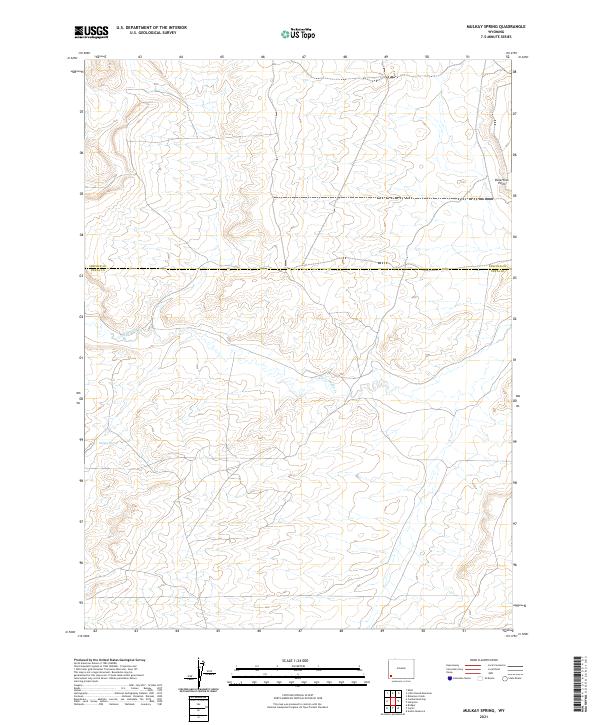
2021 Map of Mulkay Spring
USGS Topo · Published 2021About this map
Mulkay Spring and the winding course of Little Muddy Creek characterize this high-elevation landscape along the border of Lincoln and Uinta counties. The map documents a sparsely settled region defined by its hydrography and distinct geographic markers like Desertion Point. Located within the township-and-range divisions of t18n r115w, t18n r116w, t19n r115w, and t19n r116w, the terrain is marked by seasonal water sources and expansive open country. The presence of these named springs and creeks suggests their historical importance as critical landmarks for travelers and ranchers navigating the arid expanses of southwest Wyoming.
Find a feature on this map
8 named features on this map. Tap any name to fly to it.
Don’t see what you’re looking for? This feature index may not catch every label — zoom into the map to look around manually.
Map Details
Editions of this 2021 Mulkay Spring Map
This is the sole edition of this map. No revisions or reprints were ever made.
Other maps of this area

1954 · Ogden
USGS Topo · 1:250,000

1958 · Ogden
USGS Topo · 1:250,000

1960 · Ogden
USGS Topo · 1:250,000

1962 · Cumberland Gap
USGS Topo · 1:24,000

1962 · Elkol
USGS Topo · 1:24,000

1964 · Carter
USGS Topo · 1:24,000

1964 · Austin Reservoir
USGS Topo · 1:24,000

1965 · Bridger
USGS Topo · 1:24,000

1969 · Roberson Creek
USGS Topo · 1:24,000

1969 · Hampton
USGS Topo · 1:24,000