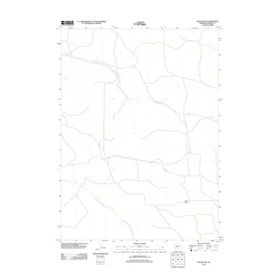
2011 Map of Mullen NW
USGS Topo · Published 2011About this map
Calf Creek meanders through the central Nebraska ranchlands in this 2011 survey of the Sandhills region. The landscape is characterized by the presence of large cattle operations, most notably the Quarter Circle Bar Ranch in the southeastern quadrant. This corner of Cherry County is defined by its sparse settlement and the hydrological importance of its waterways, including the North Branch Middle Loup River which flows across the southwestern portion of the map. The network of unimproved roads and 4WD tracks suggests a territory where movement is dictated by the natural contours of the hills and the needs of the cattle industry. For the local historian or researcher, this map provides a record of land use and water access in one of the most sparsely populated areas of the American West.
Find a feature on this map
3 named features on this map. Tap any name to fly to it.
Don’t see what you’re looking for? This feature index may not catch every label — zoom into the map to look around manually.
Map Details
Editions of this 2011 Mullen NW Map
This is the sole edition of this map. No revisions or reprints were ever made.
Other maps of this area

1948 · Mullen
USGS Topo · 1:62,500

1949 · Big Falls
USGS Topo · 1:62,500

1950 · Hire
USGS Topo · 1:62,500

1950 · Wolf Lake
USGS Topo · 1:62,500

1951 · Mullen
USGS Topo · 1:62,500

1951 · Big Falls
USGS Topo · 1:62,500

1951 · Wolf Lake
USGS Topo · 1:62,500

1957 · Valentine
USGS Topo · 1:250,000

1959 · Valentine
USGS Topo · 1:250,000

1985 · Mullen
USGS Topo · 1:100,000