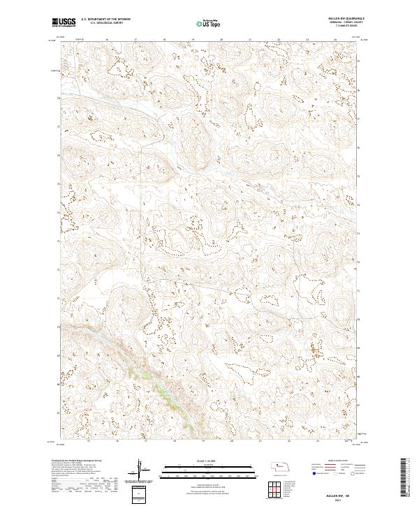
2021 Map of Mullen NW
USGS Topo · Published 2021About this map
N Br Middle Loup River winds through this section of the Nebraska Sandhills, defining the southern drainage of a landscape shaped by stabilize dunes and interdunal valleys. The terrain is characteristic of the High Plains, where the water table often sits near the surface in low-lying pockets between the grass-covered ridges. In the northern reaches of the quadrangle, the headwaters and drainage of Calf Cr provide a primary geographic landmark. The map is heavily structured by the Public Land Survey System, showing the transitions between t26n r34w, t26n r33w, t25n r34w, and t25n r33w. This 2021 survey illustrates a sparse ranching environment where natural watercourses like the Middle Loup remain the dominant features of the territory.
Find a feature on this map
6 named features on this map. Tap any name to fly to it.
Don’t see what you’re looking for? This feature index may not catch every label — zoom into the map to look around manually.
Map Details
Editions of this 2021 Mullen NW Map
This is the sole edition of this map. No revisions or reprints were ever made.
Other maps of this area

1948 · Mullen
USGS Topo · 1:62,500

1949 · Big Falls
USGS Topo · 1:62,500

1950 · Hire
USGS Topo · 1:62,500

1950 · Wolf Lake
USGS Topo · 1:62,500

1951 · Mullen
USGS Topo · 1:62,500

1951 · Big Falls
USGS Topo · 1:62,500

1951 · Wolf Lake
USGS Topo · 1:62,500

1957 · Valentine
USGS Topo · 1:250,000

1959 · Valentine
USGS Topo · 1:250,000

1985 · Mullen
USGS Topo · 1:100,000