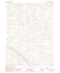
1987 Map of Mullen NW
USGS Topo · Published 1987About this map
The North Branch Middle Loup River winds through the southwestern corner of this Nebraska landscape, characterized by the intricate topography of the Sandhills region. Compiled from mid-1980s aerial photography, this provisional survey illustrates a sparsely populated ranching environment where water sources dictate the placement of local landmarks. The Quarter Circle Bar Ranch stands as a primary point of human settlement in the eastern interior, while Calf Creek meanders across the northern and central sections. The map provides a clear look at the township and range boundaries of t26n and t25n, reflecting the grid-based organization of the American West in a terrain defined by shifting dunes and drainage basins.
Find a feature on this map
5 named features on this map. Tap any name to fly to it.
Don’t see what you’re looking for? This feature index may not catch every label — zoom into the map to look around manually.
Map Details
Editions of this 1987 Mullen NW Map
This is the sole edition of this map. No revisions or reprints were ever made.
Other maps of this area

1948 · Mullen
USGS Topo · 1:62,500

1949 · Big Falls
USGS Topo · 1:62,500

1950 · Hire
USGS Topo · 1:62,500

1950 · Wolf Lake
USGS Topo · 1:62,500

1951 · Mullen
USGS Topo · 1:62,500

1951 · Big Falls
USGS Topo · 1:62,500

1951 · Wolf Lake
USGS Topo · 1:62,500

1957 · Valentine
USGS Topo · 1:250,000

1959 · Valentine
USGS Topo · 1:250,000

1985 · Mullen
USGS Topo · 1:100,000