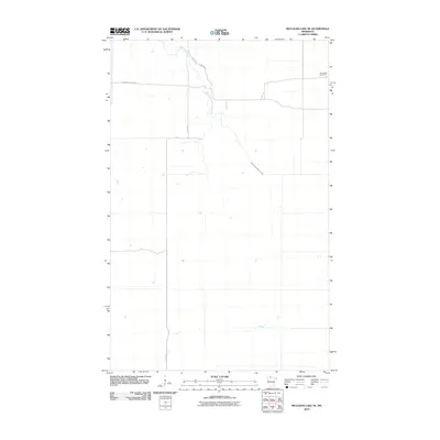
2010 Map of Mulligan Lake NE
USGS Topo · Published 2010About this map
The West Branch Warroad River winds through this northern landscape, which is characterized by a sparse network of forest roads and remote local routes. Located in Roseau County, the area maintains a quiet, rural character marked by the Pine Ridge Cemetery in the northeastern corner. Transportation and access are defined by designated paths such as Thompson Forest Rd and Bednar Trl, which provide navigation through the level terrain and wetlands typical of this border region. The grid of forest management and local connectivity is reflected in routes like 580th Ave and Dicks Pkwy, illustrating the slow pace of development in this part of northern Minnesota during the early twenty-first century.
Find a feature on this map
6 named features on this map. Tap any name to fly to it.
Don’t see what you’re looking for? This feature index may not catch every label — zoom into the map to look around manually.
Map Details
Editions of this 2010 Mulligan Lake NE Map
This is the sole edition of this map. No revisions or reprints were ever made.
Other maps of this area

1918 · Winterroad
USGS Topo · 1:62,500

1918 · Roosevelt
USGS Topo · 1:62,500

1918 · Warroad
USGS Topo · 1:62,500

1943 · Roosevelt
USGS Topo · 1:62,500

1943 · Warroad
USGS Topo · 1:62,500

1954 · Roseau
USGS Topo · 1:250,000

1957 · Roseau
USGS Topo · 1:250,000

1958 · Roseau
USGS Topo · 1:250,000
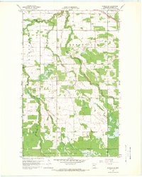
1967 · Warroad SE
USGS Topo · 1:24,000
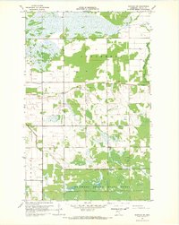
1967 · Warroad SW
USGS Topo · 1:24,000