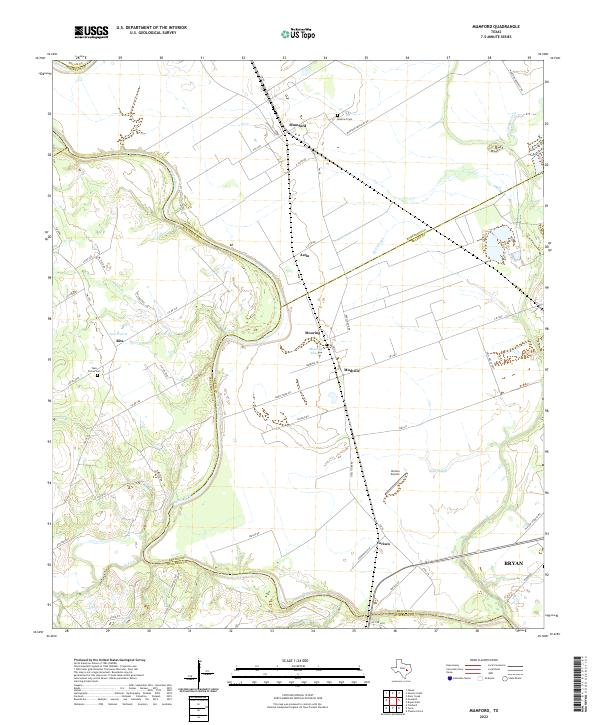
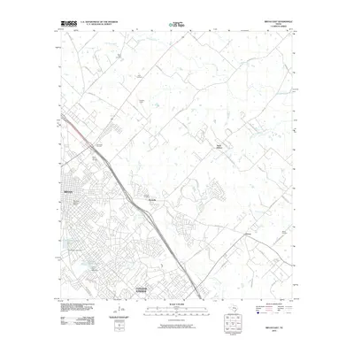
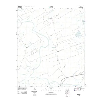
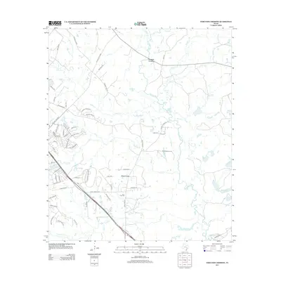
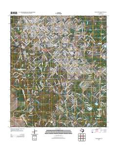
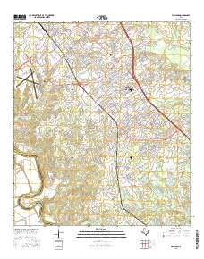
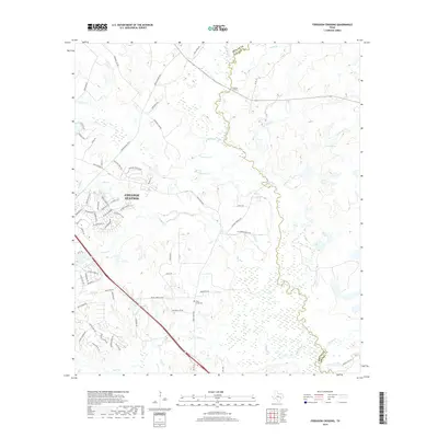
2022 Map of Mumford
USGS Topo · Published 2022About this map
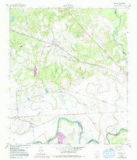
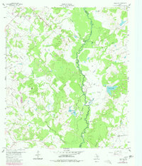
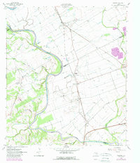
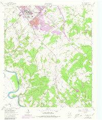
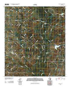
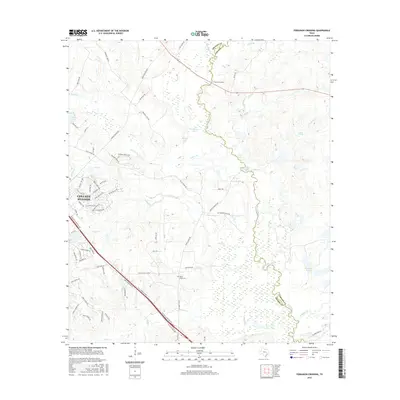
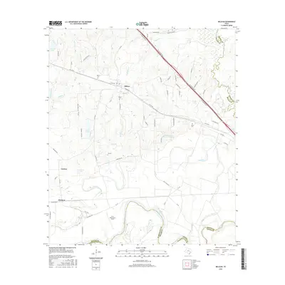
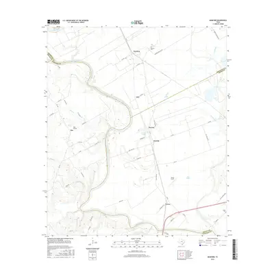
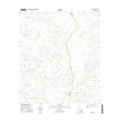
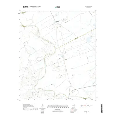
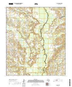
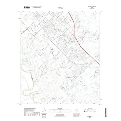
The meandering Brazos River defines the landscape of this survey, carving a complex series of oxbows and sloughs through the agricultural bottomlands at the junction of several Texas counties. Small agricultural communities and loading points like Mumford, Astin, and Mooring are scattered throughout the floodplains, connected by a network of farm-to-market roads. The terrain transitions from the low-lying wetlands of Mooring Slough and Sims Slough to the slightly higher ground of Teal Prairie, where the Teals Prairie Cem stands as a local landmark. Industrial and logistical activity is centered around the southern portion of the map, evidenced by the Varisco Airport near the community of Varisco. This modern study reveals how historical settlement patterns have persisted along the river's path, with family-named roads like Fazzino Rd and Cotrone Dix Ln marking the continuing agricultural heritage of the region.
Find a feature on this map
61 named features on this map. Tap any name to fly to it.
Don’t see what you’re looking for? This feature index may not catch every label — zoom into the map to look around manually.
Map Details
Editions of this 2022 Mumford Map
This is the sole edition of this map. No revisions or reprints were ever made.
Historical Maps of Bryan Through Time
49 maps found
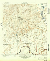
1913 Millican
Brazos County, TX
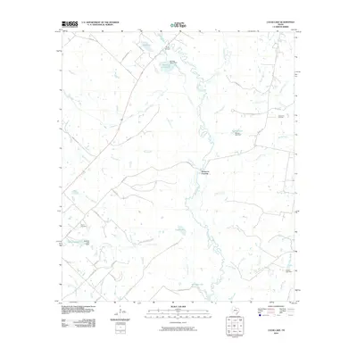
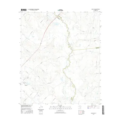
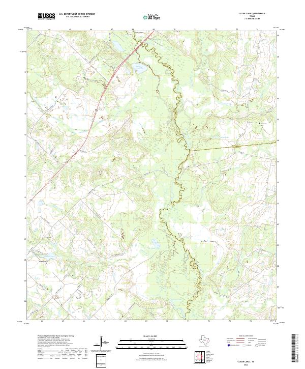
1959 Clear Lake
Brazos County, TX
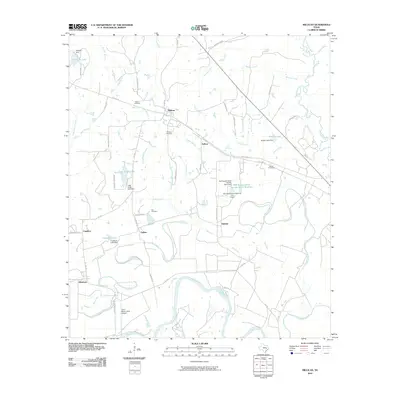
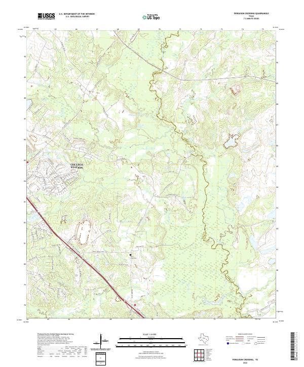
1959 Ferguson Crossing
Brazos County, TX
1959 Millican
Brazos County, TX
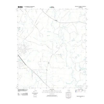
1959 Reliance
Brazos County, TX
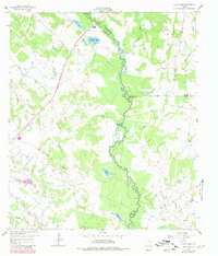
1961 Mumford
Brazos County, TX
1961 Wellborn
Brazos County, TX
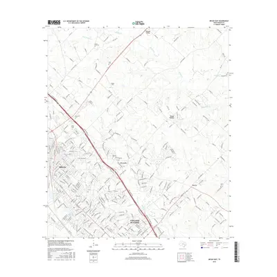
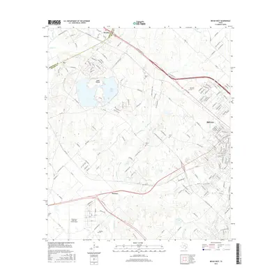
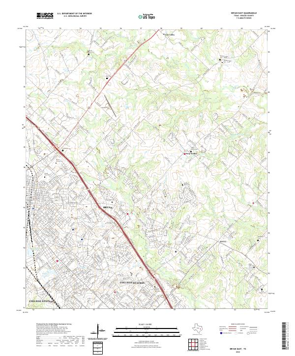
1962 Bryan East
Brazos County, TX
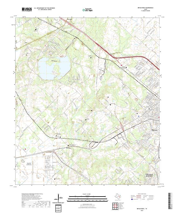
1962 Bryan West
Brazos County, TX
2010 Bryan East
Brazos County, TX
2010 Bryan West
Brazos County, TX
2010 Clear Lake
Brazos County, TX
2010 Ferguson Crossing
Brazos County, TX
2010 Millican
Brazos County, TX
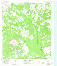
2010 Mumford
Brazos County, TX
2010 Reliance
Brazos County, TX
2010 Wellborn
Brazos County, TX
2013 Bryan East
Brazos County, TX

2013 Bryan West
Brazos County, TX
2013 Clear Lake
Brazos County, TX
2013 Ferguson Crossing
Brazos County, TX
2013 Millican
Brazos County, TX
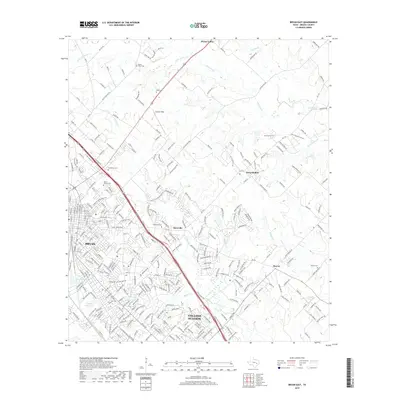
2013 Mumford
Brazos County, TX
2013 Reliance
Brazos County, TX
2013 Wellborn
Brazos County, TX
2016 Bryan East
Brazos County, TX
2016 Bryan West
Brazos County, TX
2016 Clear Lake
Brazos County, TX
2016 Ferguson Crossing
Brazos County, TX
2016 Millican
Brazos County, TX
2016 Mumford
Brazos County, TX
2016 Reliance
Brazos County, TX
2016 Wellborn
Brazos County, TX
2019 Bryan East
Brazos County, TX
2019 Bryan West
Brazos County, TX
2019 Clear Lake
Brazos County, TX
2019 Ferguson Crossing
Brazos County, TX

2019 Millican
Brazos County, TX
2019 Mumford
Brazos County, TX
2019 Reliance
Brazos County, TX
2019 Wellborn
Brazos County, TX
2022 Bryan East
Brazos County, TX
2022 Bryan West
Brazos County, TX
2022 Clear Lake
Brazos County, TX
2022 Ferguson Crossing
Brazos County, TX
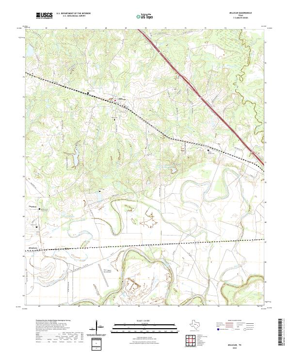
2022 Millican
Brazos County, TX
2022 Mumford
Brazos County, TX
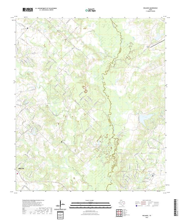
2022 Reliance
Brazos County, TX
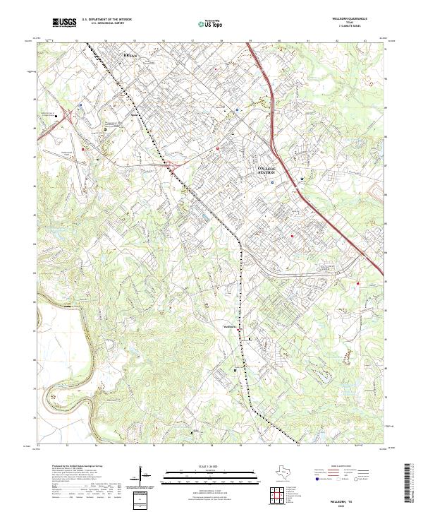
2022 Wellborn
Brazos County, TX