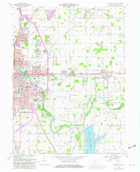
1969 Map of Muncie East
USGS Topo · Published 1982About this map
The industrial and residential growth of eastern Muncie is documented here as the city pushes toward the surrounding rural townships of Center, Liberty, and Hamilton. This era shows a landscape transitioning between dense urban centers like Creston and Mayfield and the agrarian outskirts where family-named landmarks like Spark Cem and Truitt Cem remain. The eastern side of the city is anchored by essential infrastructure, including a large Sewage Disposal plant and a Filtration Plant along the White River. To the southeast, the massive Prairie Creek Reservoir dominates the terrain, providing a clear contrast to the grid-iron streets of the city. Transportation networks define the area, with the Norfolk and Western, Conrail, and Chesapeake and Ohio railroads cutting through the countryside to serve outlying communities such as Selma and Desoto.
Find a feature on this map
64 named features on this map. Tap any name to fly to it.
Don’t see what you’re looking for? This feature index may not catch every label — zoom into the map to look around manually.
Map Details
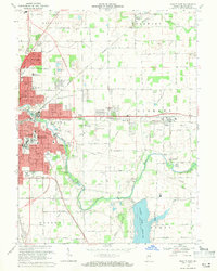
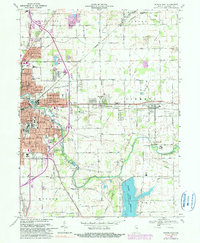
Editions of this 1969 Muncie East Map
3 editions found
Other maps of this area

1952 · Muncie East
USGS Topo · 1:24,000

1952 · Farmland
USGS Topo · 1:24,000

1952 · Muncie West
USGS Topo · 1:24,000

1953 · Muncie
USGS Topo · 1:250,000

1956 · Muncie
USGS Topo · 1:250,000

1960 · Eaton
USGS Topo · 1:24,000

1960 · Mount Pleasant
USGS Topo · 1:24,000

1960 · Wheeling
USGS Topo · 1:24,000

1960 · Sulphur Springs
USGS Topo · 1:24,000
1960 · Modoc
USGS Topo · 1:24,000