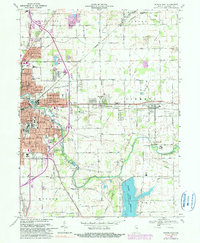
1969 Map of Muncie East
USGS Topo · Published 1990About this map
Industrial and residential expansion defines the eastern half of Muncie during the late 1960s, a period where suburban neighborhoods like Creston, Aultshire, and Irvington were actively filling in the landscape between the city core and the surrounding Delaware County farmland. The map reveals a transition from the dense urban grid near Heekin Park to the sprawling reaches of the Delaware Country Club and the emerging Woodland Park district. The White River and several rail corridors, including the Conrail and Norfolk and Western lines, dictate the layout of these growing communities.
Find a feature on this map
99 named features on this map. Tap any name to fly to it.
Don’t see what you’re looking for? This feature index may not catch every label — zoom into the map to look around manually.
Map Details
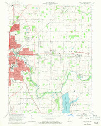
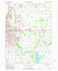
Editions of this 1969 Muncie East Map
3 editions found
Other maps of this area

1952 · Muncie East
USGS Topo · 1:24,000

1952 · Farmland
USGS Topo · 1:24,000

1952 · Muncie West
USGS Topo · 1:24,000

1953 · Muncie
USGS Topo · 1:250,000

1956 · Muncie
USGS Topo · 1:250,000

1960 · Eaton
USGS Topo · 1:24,000

1960 · Mount Pleasant
USGS Topo · 1:24,000

1960 · Wheeling
USGS Topo · 1:24,000

1960 · Sulphur Springs
USGS Topo · 1:24,000
1960 · Modoc
USGS Topo · 1:24,000