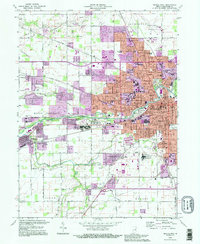
1992 Map of Muncie West
USGS Topo · Published 1995About this map
Ball State University anchors the western expansion of Muncie, a city defined by its position along the White River and a dense network of educational and industrial institutions in the early 1990s. The map illustrates the suburban growth stretching toward Yorktown and Cammack, with purple revisions highlighting residential and commercial developments like the Northwest Plaza Shopping Center. Cultural and community centers are well-represented, from the County Fairgrounds to numerous neighborhood schools like Mitchell Sch and Garfield Sch. Along the river's path, the landscape transitions from the urban core of Muncie to the open spaces of Mount Pleasant, where the Golf Course and Wildlife Sanctuary provide a buffer between the city and the outlying townships of Harrison and Salem. Local history is preserved in the detailed marking of Beech Grove Cemetery and rural houses of worship such as Bethel Ch.
Find a feature on this map
86 named features on this map. Tap any name to fly to it.
Don’t see what you’re looking for? This feature index may not catch every label — zoom into the map to look around manually.
Map Details
Editions of this 1992 Muncie West Map
2 editions found
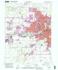
Other maps of this area

1952 · Muncie East
USGS Topo · 1:24,000

1952 · Muncie West
USGS Topo · 1:24,000

1953 · Muncie
USGS Topo · 1:250,000

1956 · Muncie
USGS Topo · 1:250,000

1960 · Gilman
USGS Topo · 1:24,000

1960 · Middletown
USGS Topo · 1:24,000

1960 · Eaton
USGS Topo · 1:24,000

1960 · Mount Pleasant
USGS Topo · 1:24,000

1960 · Wheeling
USGS Topo · 1:24,000

1960 · Sulphur Springs
USGS Topo · 1:24,000