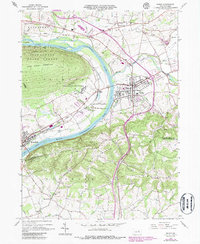
1965 Map of Muncy
USGS Topo · Published 1986About this map
The West Branch Susquehanna River bends sharply through this central Pennsylvania landscape, dividing the steep terrain of Bald Eagle Mountain from the populated borough of Muncy. This mid-1960s survey, updated with 1980s data, illustrates the concentration of civic life in Muncy, featuring landmarks like the Muncy High Sch, Muncy Valley Hospital, and the large Muncy Cem. The presence of the State Correctional Institution near Muncy Station and the Tiadaghton State Forest to the west highlights the varied land use, from correctional and state-managed forest land to industrial areas along the Conrail lines. Smaller settlements like Pennsdale, Lime Bluff, and Delaware Run are connected by a network of rural roads and rail lines, while the Muncy Hills rise to the southeast, framing the valley's agricultural and residential development.
Find a feature on this map
51 named features on this map. Tap any name to fly to it.
Don’t see what you’re looking for? This feature index may not catch every label — zoom into the map to look around manually.
Map Details
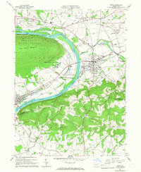
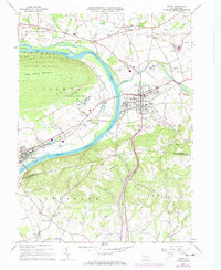
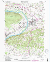
Editions of this 1965 Muncy Map
4 editions found
Other maps of this area

1924 · Milton
USGS Topo · 1:62,500

1927 · Eagles Mere
USGS Topo · 1:48,000

1930 · Warrensville
USGS Topo · 1:62,500

1932 · Eagle Mere
USGS Topo · 1:62,500

1934 · Warrensville
USGS Topo · 1:62,500

1935 · Hughesville
USGS Topo · 1:62,500

1953 · Hughesville
USGS Topo · 1:62,500

1953 · Warrensville
USGS Topo · 1:62,500

1953 · Eagles Mere
USGS Topo · 1:62,500

1953 · Milton
USGS Topo · 1:62,500
Featured Places
- Lewis Township, PA
- Delaware Run, Delaware Township
- Muncy, PA
- Muncy Creek Township, PA
- Clinton Township, PA