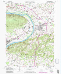
1965 Map of Muncy
USGS Topo · Published 1986About this map
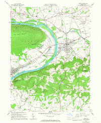
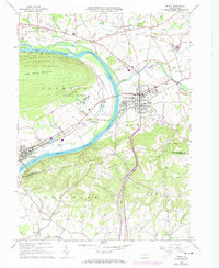
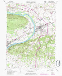
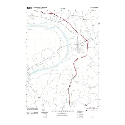
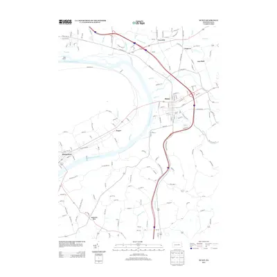
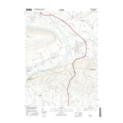
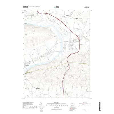
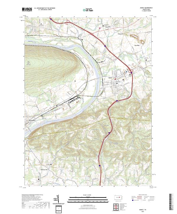
The West Branch Susquehanna River carves a dramatic path through the landscape, separating the steep slopes of Bald Eagle Mountain and the Tiadaghton State Forest from the valley floor. The town of Muncy serves as a central hub, showing significant infrastructure including the Muncy Valley Hospital and a localized rail network operated by Conrail. Purple photorevisions from the mid-1980s highlight residential expansion and industrial development, such as the State Correctional Institution and various trailer parks, illustrating the mid-century growth of this Lycoming County region.
Find a feature on this map
53 named features on this map. Tap any name to fly to it.
Don’t see what you’re looking for? This feature index may not catch every label — zoom into the map to look around manually.
Map Details
Editions of this 1965 Muncy Map
4 editions found
Historical Maps of Lewis Township Through Time
6 maps found
Featured Locations
- Lewis Township, PA
- Muncy, PA
- Muncy Creek Township, PA
- Clinton Township, PA
- Delaware Run, Delaware Township