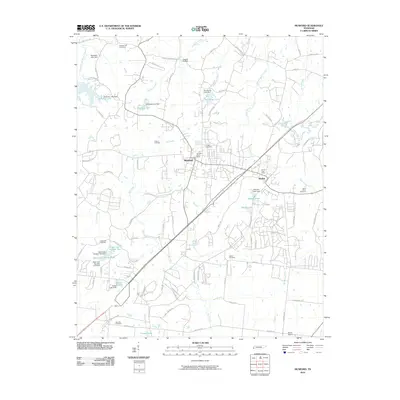
2010 Map of Munford
USGS Topo · Published 2010About this map
Munford and Atoka serve as the primary hubs of this West Tennessee landscape, anchored by a network of local roads and water bodies. The terrain is defined by the drainage of Big Creek and Groggins Creek, which feed into numerous small reservoirs such as Glenview Lake and Demerys Lake. This topography reveals a high concentration of burial grounds, including Campground Cemetery, Crigger Cemetery, and Adams Cemetery, which provide significant points of interest for those tracking local family lineages.
Find a feature on this map
87 named features on this map. Tap any name to fly to it.
Don’t see what you’re looking for? This feature index may not catch every label — zoom into the map to look around manually.
Map Details
Editions of this 2010 Munford Map
This is the sole edition of this map. No revisions or reprints were ever made.
Other maps of this area

1942 · Millington
USGS Topo · 1:62,500

1954 · Mason
USGS Topo · 1:62,500

1956 · Blytheville
USGS Topo · 1:250,000

1959 · Blytheville
USGS Topo · 1:250,000

1960 · Millington
USGS Topo · 1:62,500

1961 · Rialto
USGS Topo · 1:62,500

1962 · Rialto
USGS Topo · 1:62,500

1963 · Osceola
USGS Topo · 1:62,500

1965 · Osceola
USGS Topo · 1:62,500

1965 · Brighton
USGS Topo · 1:24,000