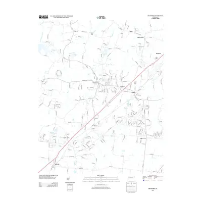
2013 Map of Munford
USGS Topo · Published 2013About this map
Munford and Atoka serve as the primary hubs in this southern Tipton County landscape, where residential development and agricultural tracts meet along the Highway 51 corridor. The map documents a cluster of established communities including Brighton to the northeast and Tipton and Kerrville to the southwest, illustrating the suburban expansion north of Memphis during the early 21st century. Smaller named locales such as Hagys Corner, Crosstown, and Akins Corner point to older rural intersections that have persisted through modern growth.
Find a feature on this map
246 named features on this map. Tap any name to fly to it.
Don’t see what you’re looking for? This feature index may not catch every label — zoom into the map to look around manually.
Map Details
Editions of this 2013 Munford Map
This is the sole edition of this map. No revisions or reprints were ever made.
Other maps of this area

1942 · Millington
USGS Topo · 1:62,500

1954 · Mason
USGS Topo · 1:62,500

1956 · Blytheville
USGS Topo · 1:250,000

1959 · Blytheville
USGS Topo · 1:250,000

1960 · Millington
USGS Topo · 1:62,500

1961 · Rialto
USGS Topo · 1:62,500

1962 · Rialto
USGS Topo · 1:62,500

1963 · Osceola
USGS Topo · 1:62,500

1965 · Osceola
USGS Topo · 1:62,500

1965 · Brighton
USGS Topo · 1:24,000