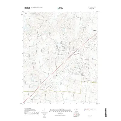
2019 Map of Munford
USGS Topo · Published 2019About this map
Munford and Atoka serve as the primary hubs of this West Tennessee landscape, anchored by a series of residential developments and rural outposts along the transition from Tipton Co to Shelby Co. The area is notably dense with localized water features, including Gin House Lake, Meade Lake, and Glenview Lake, which are interspersed among the drainages of Big Creek and Cane Branch. Small named localities like Hagys Corner, Crosstown, and Akins Corner dot the road network, reflecting the settlement patterns that evolved around agricultural intersections and early crossroads.
Find a feature on this map
191 named features on this map. Tap any name to fly to it.
Don’t see what you’re looking for? This feature index may not catch every label — zoom into the map to look around manually.
Map Details
Editions of this 2019 Munford Map
This is the sole edition of this map. No revisions or reprints were ever made.
Other maps of this area

1942 · Millington
USGS Topo · 1:62,500

1954 · Mason
USGS Topo · 1:62,500

1956 · Blytheville
USGS Topo · 1:250,000

1959 · Blytheville
USGS Topo · 1:250,000

1960 · Millington
USGS Topo · 1:62,500

1961 · Rialto
USGS Topo · 1:62,500

1962 · Rialto
USGS Topo · 1:62,500

1963 · Osceola
USGS Topo · 1:62,500

1965 · Osceola
USGS Topo · 1:62,500

1965 · Brighton
USGS Topo · 1:24,000