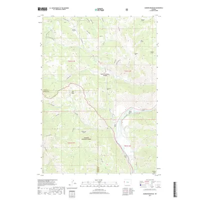
2017 Map of Munger Mountain
USGS Topo · Published 2017About this map
Munger Mtn and the broader Snake River Range dominate this landscape south of Jackson Hole, where the Snake River cuts through the canyon floor. The terrain is a complex network of drainages and high ridges within the Teton National Forest and Targhee National Forest. Local history is preserved in names like Johnny Counts Flat and the geothermal site at Astoria Mineral Hot Springs near the riverbank. Significant elevational features such as Wolf Mountain and Pritchard Pass provide a clear view of the wilderness as it appeared in the late 2010s. For those tracing the geography of the Wyoming-Idaho border region, the map details many canyons including Bohnetts, Georges, and Beaver Dam Canyon. This topographic study also captures the transition between Teton and Lincoln counties, marked by the confluence of numerous creeks like Fall and Dog Creek.
Find a feature on this map
54 named features on this map. Tap any name to fly to it.
Don’t see what you’re looking for? This feature index may not catch every label — zoom into the map to look around manually.
Map Details
Editions of this 2017 Munger Mountain Map
This is the sole edition of this map. No revisions or reprints were ever made.
Other maps of this area

1931 · Jackson
USGS Topo · 1:125,000

1935 · Jackson
USGS Topo · 1:125,000

1955 · Driggs
USGS Topo · 1:250,000

1958 · Driggs
USGS Topo · 1:250,000

1962 · Driggs
USGS Topo · 1:250,000

1963 · Munger Mountain
USGS Topo · 1:24,000

1963 · Jackson
USGS Topo · 1:24,000

1963 · Teton Pass
USGS Topo · 1:24,000

1963 · Observation Peak
USGS Topo · 1:24,000

1963 · Ferry Peak
USGS Topo · 1:24,000