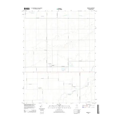
2015 Map of Murdock
USGS Topo · Published 2015About this map
Murdock sits at the heart of this Douglas County landscape, a community defined by its straight-line road network and agricultural tradition. The terrain is marked by gentle drainage patterns including the winding Jordan Slough to the north and Brushy Fork to the south. Local history is anchored by several family-named burial sites, including Jordan Cem, Murdock Cem, and Albin Cem, which provide essential touchpoints for genealogical research in this part of Illinois. The map captures a moment when traditional rural infrastructure, like the Mayhall Airport, exists alongside modern water management features such as the Newman Number 2 Drain. This survey illustrates the enduring nature of the Midwestern township and range system, where county roads like E Co Road 1000 N and N 2050 East Rd partition the prairie into a distinct grid that has persisted for generations.
Find a feature on this map
34 named features on this map. Tap any name to fly to it.
Don’t see what you’re looking for? This feature index may not catch every label — zoom into the map to look around manually.
Map Details
Editions of this 2015 Murdock Map
This is the sole edition of this map. No revisions or reprints were ever made.
Other maps of this area

1936 · Oakland
USGS Topo · 1:48,000

1942 · Oakland
USGS Topo · 1:62,500

1946 · Kansas
USGS Topo · 1:62,500

1949 · Kansas
USGS Topo · 1:62,500

1953 · Indianapolis
USGS Topo · 1:250,000

1956 · Indianapolis
USGS Topo · 1:250,000

1956 · Newman
USGS Topo · 1:62,500

1956 · Villa Grove
USGS Topo · 1:62,500

1957 · Indianapolis
USGS Topo · 1:250,000

1958 · Decatur
USGS Topo · 1:250,000