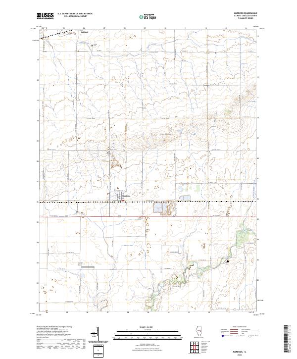
2024 Map of Murdock
USGS Topo · Published 2024About this map
Murdock serves as the primary hub in this portion of Douglas County, situated along the east-west corridor of W Main St. The surrounding landscape is defined by the agricultural grid of East-Central Illinois, where water management is critical to the local economy. Features such as Jordan Slough, Brushy Fork, and the engineered Newman Number 2 Drain illustrate the drainage patterns essential for the region's productive farmland.
Find a feature on this map
50 named features on this map. Tap any name to fly to it.
Don’t see what you’re looking for? This feature index may not catch every label — zoom into the map to look around manually.
Map Details
Editions of this 2024 Murdock Map
This is the sole edition of this map. No revisions or reprints were ever made.
Other maps of this area

1936 · Oakland
USGS Topo · 1:48,000

1942 · Oakland
USGS Topo · 1:62,500

1946 · Kansas
USGS Topo · 1:62,500

1949 · Kansas
USGS Topo · 1:62,500

1953 · Indianapolis
USGS Topo · 1:250,000

1956 · Indianapolis
USGS Topo · 1:250,000

1956 · Newman
USGS Topo · 1:62,500

1956 · Villa Grove
USGS Topo · 1:62,500

1957 · Indianapolis
USGS Topo · 1:250,000

1958 · Decatur
USGS Topo · 1:250,000