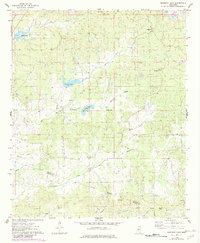
1975 Map of Murdock Lake
USGS Topo · Published 1982About this map
Murdock Lake and Sanders Lake center this mid-1970s landscape, where the rural character of Carroll and Holmes counties is defined by a network of creek drainages and small community hubs. The landscape is heavily marked by local heritage sites, with several church-and-cemetery pairings such as Goodhope Ch and Goodhope Cem in the north, and New Zion Ch and New Zion Cem further south.
Find a feature on this map
29 named features on this map. Tap any name to fly to it.
Don’t see what you’re looking for? This feature index may not catch every label — zoom into the map to look around manually.
Map Details
Editions of this 1975 Murdock Lake Map
2 editions found
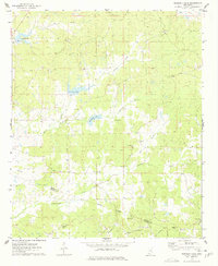
Other maps of this area

1940 · Seven Pines
USGS Topo · 1:62,500

1940 · Lexington
USGS Topo · 1:62,500

1953 · Greenwood
USGS Topo · 1:250,000

1953 · West Point
USGS Topo · 1:250,000

1956 · Greenwood
USGS Topo · 1:250,000

1957 · Lexington
USGS Topo · 1:62,500

1957 · Seven Pines
USGS Topo · 1:62,500

1958 · West Point
USGS Topo · 1:250,000

1958 · Seven Pines
USGS Topo · 1:62,500

1958 · Lexington
USGS Topo · 1:62,500