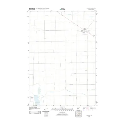
2010 Map of Murdock
USGS Topo · Published 2010About this map
Murdock serves as the primary hub of this agricultural landscape in Swift County, concentrated along a corridor that includes the Murdock Post Office and local civic landmarks. The township is characterized by a precise grid of rural roads, such as County Hwy-33 and 70th St SE, which facilitate the movement of goods and people across the prairie. Two significant burial grounds, Sacred Heart Cemetery and Calvary Cemetery, are situated near the town center, providing important reference points for genealogical research in this Minnesota community.
Find a feature on this map
33 named features on this map. Tap any name to fly to it.
Don’t see what you’re looking for? This feature index may not catch every label — zoom into the map to look around manually.
Map Details
Editions of this 2010 Murdock Map
This is the sole edition of this map. No revisions or reprints were ever made.
Other maps of this area

1953 · Saint Cloud
USGS Topo · 1:250,000

1957 · Saint Cloud
USGS Topo · 1:250,000

1958 · Saint Cloud
USGS Topo · 1:250,000

1958 · Murdock
USGS Topo · 1:24,000

1958 · Gracelock NE
USGS Topo · 1:24,000

1958 · Kerkhoven SE
USGS Topo · 1:24,000

1958 · Kerkhoven
USGS Topo · 1:24,000

1958 · Kerkhoven SW
USGS Topo · 1:24,000

1958 · Gracelock
USGS Topo · 1:24,000

1968 · De Graff
USGS Topo · 1:24,000