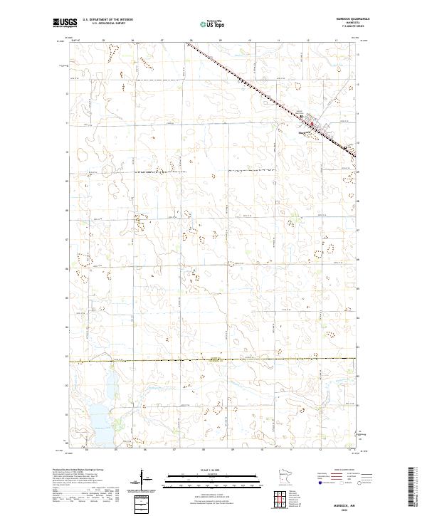
2022 Map of Murdock
USGS Topo · Published 2022About this map
The prairie landscape of western Minnesota is defined here by the agricultural grid and the community of Murdock, where the street network of Main Ave, Kenner Ave, and Clara Ave follows the diagonal path of the railway. This 2022 survey captures the area's spiritual and family history through the siting of Sacred Heart Cem and Calvary Cem on the outskirts of town. To the south, the topography shifts from flat farmland to the more variable terrain around the waters of Shakopee Lake and the meandering path of Shakopee Cr. The transition between Swift Co and Chippewa Co is marked by the east-west line of 120th St SE, illustrating how political boundaries and rural roads like Co Rd 64 coordinate with the natural drainage of Mud Cr in the north.
Find a feature on this map
35 named features on this map. Tap any name to fly to it.
Don’t see what you’re looking for? This feature index may not catch every label — zoom into the map to look around manually.
Map Details
Editions of this 2022 Murdock Map
This is the sole edition of this map. No revisions or reprints were ever made.
Other maps of this area

1953 · Saint Cloud
USGS Topo · 1:250,000

1957 · Saint Cloud
USGS Topo · 1:250,000

1958 · Saint Cloud
USGS Topo · 1:250,000

1958 · Murdock
USGS Topo · 1:24,000

1958 · Gracelock NE
USGS Topo · 1:24,000

1958 · Kerkhoven SE
USGS Topo · 1:24,000

1958 · Kerkhoven
USGS Topo · 1:24,000

1958 · Kerkhoven SW
USGS Topo · 1:24,000

1958 · Gracelock
USGS Topo · 1:24,000

1968 · De Graff
USGS Topo · 1:24,000