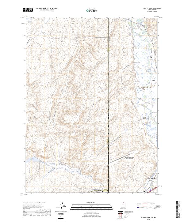
2023 Map of Murphy Ridge
USGS Topo · Published 2023About this map
The Bear River meanders across the high-altitude borderlands between Utah and Wyoming, carving a path through a landscape defined by significant irrigation infrastructure and seasonal water storage. Modern developments like the Evanston-Uinta County Airport Burns Field sit alongside older local landmarks such as the Almy Cem and the settlement of Almy. The terrain is marked by prominent north-south elevations, most notably the namesake Murphy Ridge, which separates drainage basins including Murphy Hollow and Thomas Canyon.
Find a feature on this map
35 named features on this map. Tap any name to fly to it.
Don’t see what you’re looking for? This feature index may not catch every label — zoom into the map to look around manually.
Map Details
Editions of this 2023 Murphy Ridge Map
This is the sole edition of this map. No revisions or reprints were ever made.
Other maps of this area

1954 · Ogden
USGS Topo · 1:250,000

1958 · Ogden
USGS Topo · 1:250,000

1960 · Ogden
USGS Topo · 1:250,000

1965 · Evanston
USGS Topo · 1:24,000

1965 · Three Forks
USGS Topo · 1:24,000

1965 · Millis
USGS Topo · 1:24,000

1968 · Wahsatch
USGS Topo · 1:24,000

1968 · Shearing Corral
USGS Topo · 1:24,000

1968 · Mc Kay Hollow
USGS Topo · 1:24,000

1968 · Neponset Reservoir NE
USGS Topo · 1:24,000