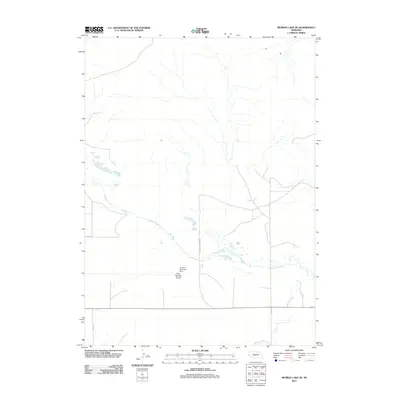
2011 Map of Murray Lake NE
USGS Topo · Published 2011About this map
Pumpkin Creek meanders through this portion of Scotts Bluff County, defining a landscape shaped by intermittent water and sparse ranching infrastructure. The presence of the Scrivens Diversion Dam indicates the essential role of water management in this arid Nebraska environment, where seasonal flows are harnessed for local agricultural use.
Find a feature on this map
8 named features on this map. Tap any name to fly to it.
Don’t see what you’re looking for? This feature index may not catch every label — zoom into the map to look around manually.
Map Details
Editions of this 2011 Murray Lake NE Map
This is the sole edition of this map. No revisions or reprints were ever made.
Other maps of this area

1898 · Scotts Bluff
USGS Topo · 1:125,000

1954 · Scottsbluff
USGS Topo · 1:250,000

1958 · Scottsbluff
USGS Topo · 1:250,000

1960 · Stegall
USGS Topo · 1:24,000

1960 · Murray Lake
USGS Topo · 1:24,000

1963 · Scottsbluff South
USGS Topo · 1:24,000

1963 · Roubadeau Pass
USGS Topo · 1:24,000

1973 · Scotts Bluff 4 NW
USGS Topo · 1:24,000

1973 · Scotts Bluff 4 SW
USGS Topo · 1:24,000

1973 · Scotts Bluff 3 SE
USGS Topo · 1:24,000