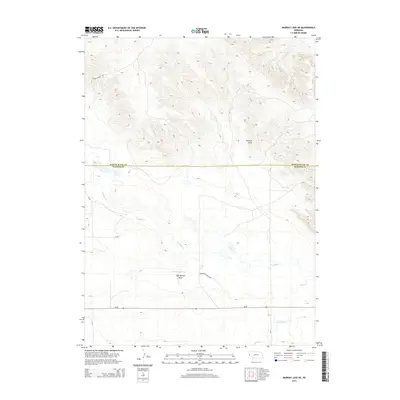
2014 Map of Murray Lake NE
USGS Topo · Published 2014About this map
Wildcat Hills dominate the northern terrain of this Nebraska landscape, where the rugged topography of the Panhandle meets the drainage basins of the south. This 2014 survey documents the transitional zone between Scotts Bluff and Banner counties, an area characterized by significant elevation changes and seasonal watercourses. The prominent Pumpkin Cr meanders through the central valley, supported by smaller features like Clay Springs Draw and Scrivens Reservoir. These water sources were vital for the high-plains ranching economy, visible here through the network of local routes such as Grandview Ranch Rd and Carter Canyon Rd. The map provides a detailed look at the rural infrastructure of the early 21st century, showing how modern corridors like Ne-88 follow the natural contours of the historic prairie landscape.
Find a feature on this map
14 named features on this map. Tap any name to fly to it.
Don’t see what you’re looking for? This feature index may not catch every label — zoom into the map to look around manually.
Map Details
Editions of this 2014 Murray Lake NE Map
This is the sole edition of this map. No revisions or reprints were ever made.
Other maps of this area

1898 · Scotts Bluff
USGS Topo · 1:125,000

1954 · Scottsbluff
USGS Topo · 1:250,000

1958 · Scottsbluff
USGS Topo · 1:250,000

1960 · Stegall
USGS Topo · 1:24,000

1960 · Murray Lake
USGS Topo · 1:24,000

1963 · Scottsbluff South
USGS Topo · 1:24,000

1963 · Roubadeau Pass
USGS Topo · 1:24,000

1973 · Scotts Bluff 4 NW
USGS Topo · 1:24,000

1973 · Scotts Bluff 4 SW
USGS Topo · 1:24,000

1973 · Scotts Bluff 3 SE
USGS Topo · 1:24,000