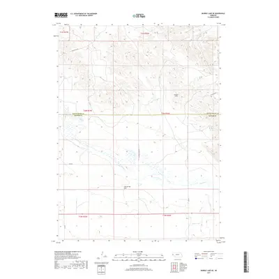
2017 Map of Murray Lake NE
USGS Topo · Published 2017About this map
The Wildcat Hills dominate the northern landscape of this region, providing a high-relief contrast to the alluvial plains below. This topographical study captures the transition from these elevated ridges down to the broad drainage of Pumpkin Cr, which cuts diagonally through the central portion of the terrain. The landscape is defined by its drainages and ranching infrastructure, as seen in the networks surrounding Clay Springs Draw and the course of Willow Creek in the southeastern corner.
Find a feature on this map
19 named features on this map. Tap any name to fly to it.
Don’t see what you’re looking for? This feature index may not catch every label — zoom into the map to look around manually.
Map Details
Editions of this 2017 Murray Lake NE Map
This is the sole edition of this map. No revisions or reprints were ever made.
Other maps of this area

1898 · Scotts Bluff
USGS Topo · 1:125,000

1954 · Scottsbluff
USGS Topo · 1:250,000

1958 · Scottsbluff
USGS Topo · 1:250,000

1960 · Stegall
USGS Topo · 1:24,000

1960 · Murray Lake
USGS Topo · 1:24,000

1963 · Scottsbluff South
USGS Topo · 1:24,000

1963 · Roubadeau Pass
USGS Topo · 1:24,000

1973 · Scotts Bluff 4 NW
USGS Topo · 1:24,000

1973 · Scotts Bluff 4 SW
USGS Topo · 1:24,000

1973 · Scotts Bluff 3 SE
USGS Topo · 1:24,000