
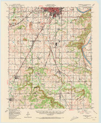
1905 Map of Muscogee
USGS Topo · Published 1905About this map
The convergence of the Arkansas River, Verdigris River, and Neosho River forms a complex hydrological landscape in this turn-of-the-century depiction of Indian Territory. A network of river crossings, including French's Upper Ferry, Taylor Ferry, and the evocatively named Whisky Ford, reveals how commerce and travel moved before the proliferation of bridges. The boundary between the Creek Nation and Cherokee Nation runs through the heart of the region, highlighting the area's political geography just prior to Oklahoma statehood. Significant rail infrastructure, such as the Missouri Kansas and Texas RR and the St. Louis and San Francisco RR, services established hubs like Muscogee and Wagoner. The presence of the Seminary near Fourteenmile Creek and the Mission near the Midland Valley RR suggests established cultural and educational centers amidst a landscape defined by prominent features like Iron Mountain and the Rattlesnake Mountains.
Find a feature on this map
55 named features on this map. Tap any name to fly to it.
Don’t see what you’re looking for? This feature index may not catch every label — zoom into the map to look around manually.
Map Details
Editions of this 1905 Muscogee Map
This is the sole edition of this map. No revisions or reprints were ever made.
Historical Maps of Hyde Park Through Time
21 maps found
1905 Muscogee
Muskogee County, OK
1948 Keefeton
Muskogee County, OK
1950 Keefeton
Muskogee County, OK
1963 Holt Mountain
Muskogee County, OK
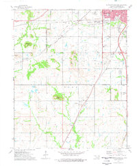
1971 Beland
Muskogee County, OK
1972 Hulbert SW
Muskogee County, OK

1972 Keefeton NE
Muskogee County, OK
1972 Keefeton SE
Muskogee County, OK
1972 Keefeton SW
Muskogee County, OK
1972 Wagoner SE
Muskogee County, OK
1972 Webbers Falls SW
Muskogee County, OK
1974 Fort Gibson Dam
Muskogee County, OK
1974 Northeast Muskogee
Muskogee County, OK
1974 Southeast Muskogee
Muskogee County, OK
1974 Southwest Muskogee
Muskogee County, OK
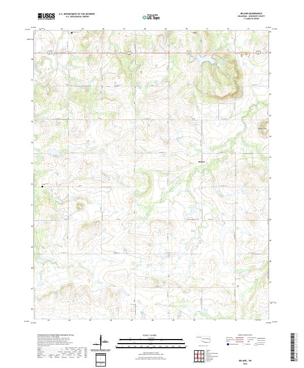
2022 Beland
Muskogee County, OK
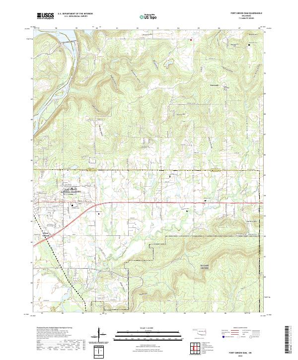
2022 Fort Gibson Dam
Muskogee County, OK
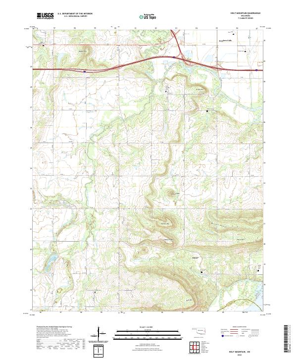
2022 Holt Mountain
Muskogee County, OK
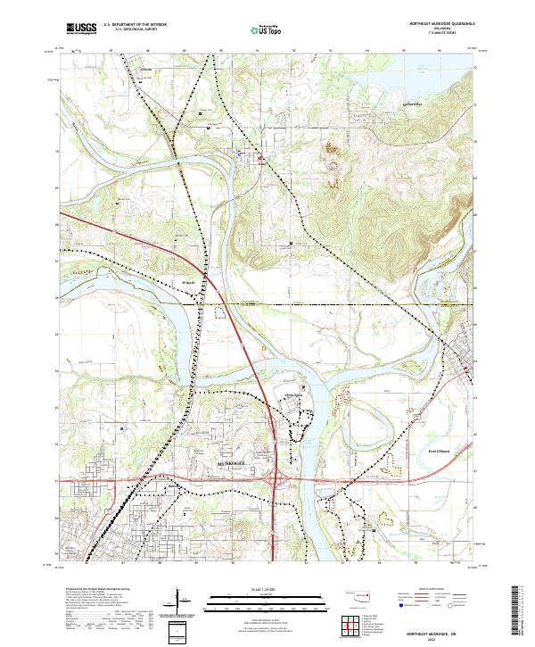
2022 Northeast Muskogee
Muskogee County, OK
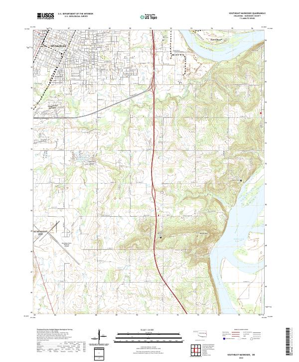
2022 Southeast Muskogee
Muskogee County, OK
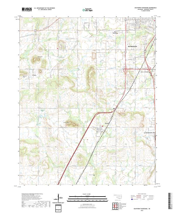
2022 Southwest Muskogee
Muskogee County, OK