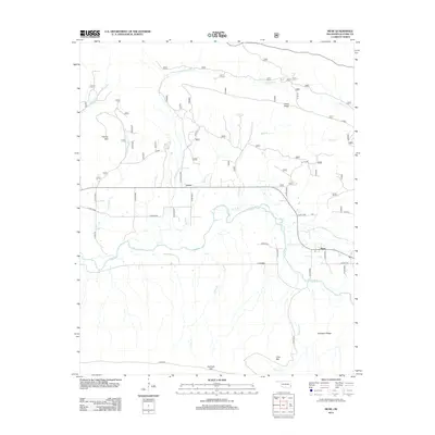
2012 Map of Muse
USGS Topo · Published 2012About this map
Muse and Lenox anchor this part of southeastern Oklahoma, where the valley floor sits between the high rises of Kiamichi Mtn and Harvey Mtn. The landscape is defined by the winding course of the Kiamichi River, which draws in a complex network of tributaries including Gensey Br, Deadman Cr, and Briar Br. This 2012 survey illustrates the modern road network of Le Flore County, showing how Co RD-e1620 and Co RD-e1608 connect isolated homesteads and ridges. The topography is dominated by long, parallel elevations like Lenox Ridge and Robinson Ridge, which create distinct natural corridors for travel and drainage. Genealogists and local historians can use the precise county road designations, such as Co RD-n4650 and Co RD-n4615, to pinpoint family properties and rural landmarks within this Ouachita Mountains foothills region.
Find a feature on this map
37 named features on this map. Tap any name to fly to it.
Don’t see what you’re looking for? This feature index may not catch every label — zoom into the map to look around manually.
Map Details
Editions of this 2012 Muse Map
This is the sole edition of this map. No revisions or reprints were ever made.
Other maps of this area

1900 · Winding Stair
USGS Topo · 1:125,000

1909 · Winding Stair
USGS Topo · 1:125,000

1950 · Mcalester
USGS Topo · 1:250,000

1959 · Page
USGS Topo · 1:62,500

1959 · Heavener
USGS Topo · 1:62,500

1962 · McAlester
USGS Topo · 1:250,000

1965 · McAlester
USGS Topo · 1:250,000
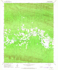
1966 · Muse
USGS Topo · 1:24,000
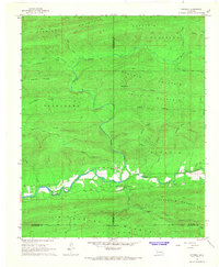
1966 · Honobia
USGS Topo · 1:24,000
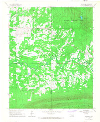
1966 · Whitesboro
USGS Topo · 1:24,000