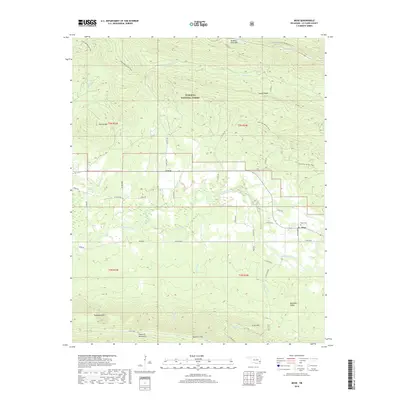
2018 Map of Muse
USGS Topo · Published 2018About this map
The Kiamichi River valley defines this portion of the Ouachita National Forest in Le Flore County, flowing between the prominent heights of Winding Stair Mtn to the north and the Kiamichi Mountains to the south. The settlement of Muse sits along the riverbanks, supported by local landmarks like the Muse Cem, while Lenox occupies the higher ground near Lenox Ridge. This landscape is heavily shaped by its timbered ridges and deep creek drainages, including Sycamore Cr and Patterson Cr. Cultural pathways are prominently marked, including the Choctaw Nation Trail and the Ouachita National Recreation Trail, which traverse the steep slopes of Harvey Mtn and Tombstone Mtn, reflecting the area's long history of movement through the Ouachita range.
Find a feature on this map
48 named features on this map. Tap any name to fly to it.
Don’t see what you’re looking for? This feature index may not catch every label — zoom into the map to look around manually.
Map Details
Editions of this 2018 Muse Map
This is the sole edition of this map. No revisions or reprints were ever made.
Other maps of this area

1900 · Winding Stair
USGS Topo · 1:125,000

1909 · Winding Stair
USGS Topo · 1:125,000

1950 · Mcalester
USGS Topo · 1:250,000

1959 · Page
USGS Topo · 1:62,500

1959 · Heavener
USGS Topo · 1:62,500

1962 · McAlester
USGS Topo · 1:250,000

1965 · McAlester
USGS Topo · 1:250,000

1966 · Muse
USGS Topo · 1:24,000
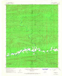
1966 · Honobia
USGS Topo · 1:24,000
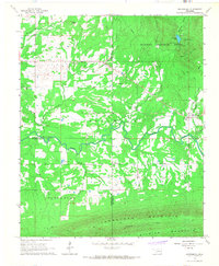
1966 · Whitesboro
USGS Topo · 1:24,000