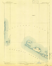
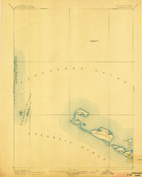
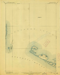
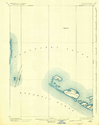
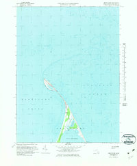
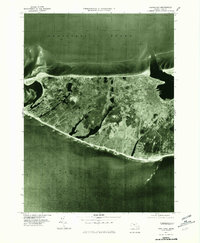
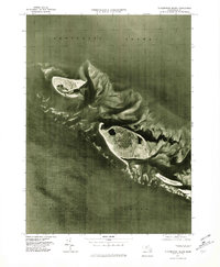
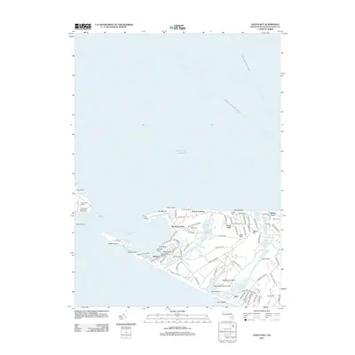
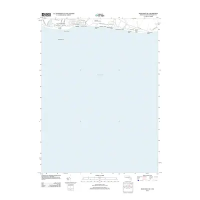
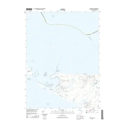
1899 Map of Muskeget
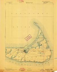
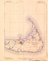
USGS Topo · Published 1943About this map
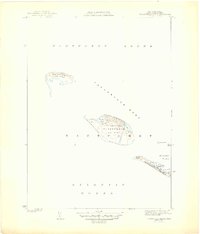
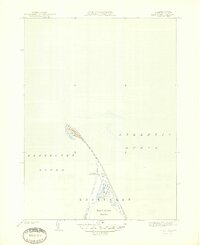
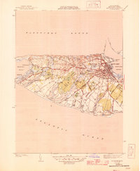
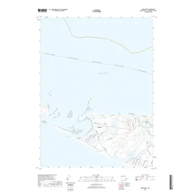
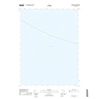
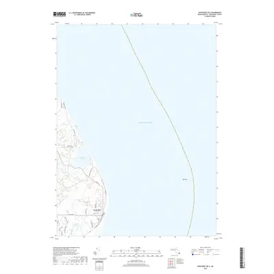
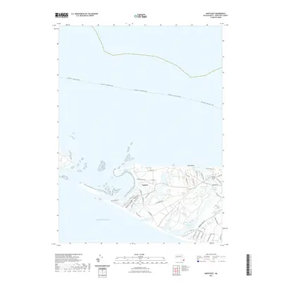
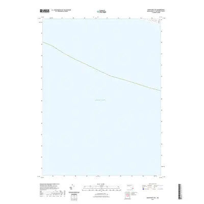
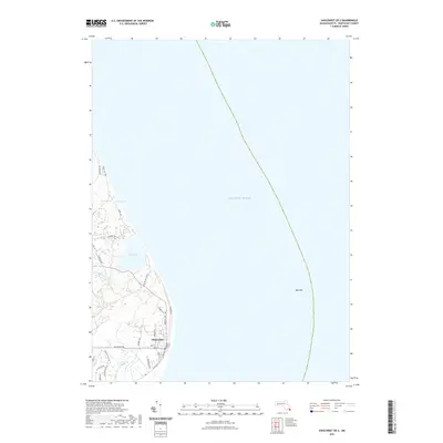
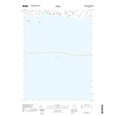
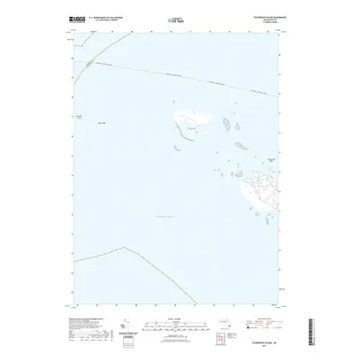
The remote barrier islands and shoals of Nantucket Sound are defined here by shifting sands and maritime hazards. In this late nineteenth-century reconnaissance, Muskeget Id. and the adjacent Gravel Islands appear as isolated outposts between the mainland and the Atlantic Ocean. The presence of an L.S.S. (Life-Saving Station) on Muskeget and the Cross Rip Shoal Light Ship to the north underscores the treacherous nature of these waters for coastal shipping.
Find a feature on this map
23 named features on this map. Tap any name to fly to it.
Don’t see what you’re looking for? This feature index may not catch every label — zoom into the map to look around manually.
Map Details
Editions of this 1899 Muskeget Map
5 editions found

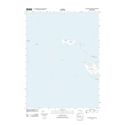
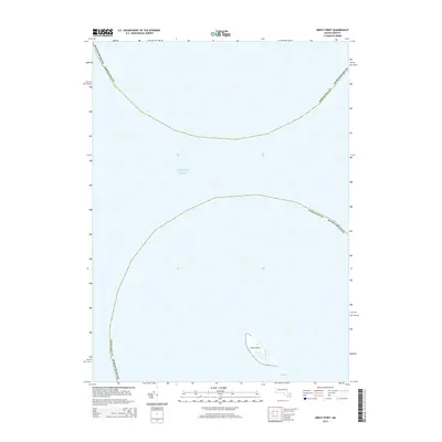
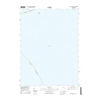
Historical Maps of Edgartown Through Time
60 maps found

1887 Muskeget
Nantucket County, MA

1889 Muskeget
Nantucket County, MA

1889 Nantucket
Nantucket County, MA

1893 Muskeget
Nantucket County, MA
1893 Nantucket
Nantucket County, MA
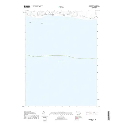
1899 Muskeget
Nantucket County, MA
1901 Nantucket
Nantucket County, MA

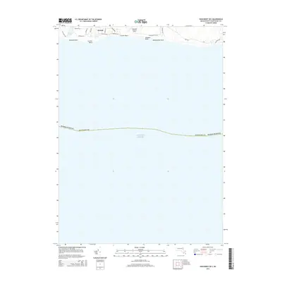
1942 Nantucket
Nantucket County, MA
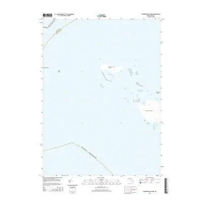
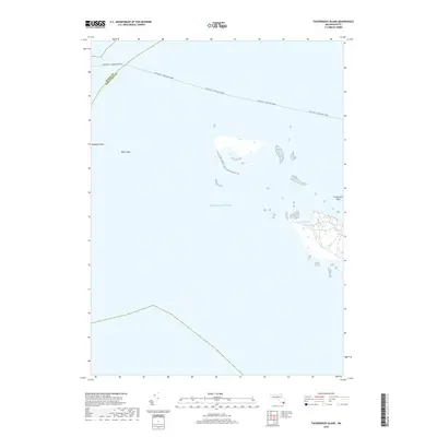
1944 Tuckernuck Island
Nantucket County, MA
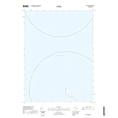
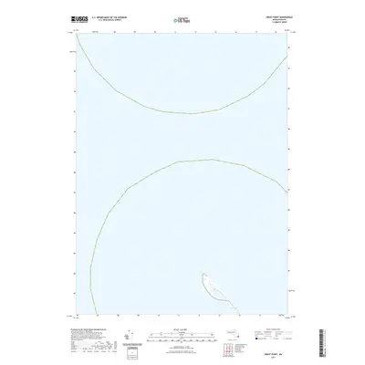
1945 Great Point
Nantucket County, MA
1945 Nantucket
Nantucket County, MA
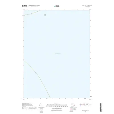
1951 Great Point
Nantucket County, MA
1951 Nantucket
Nantucket County, MA
1951 Tuckernuck Island
Nantucket County, MA
1972 Great Point
Nantucket County, MA
1972 Nantucket
Nantucket County, MA
1972 Tuckernuck Island
Nantucket County, MA
1977 Great Point
Nantucket County, MA
1977 Nantucket
Nantucket County, MA
1977 Tuckernuck Island
Nantucket County, MA
2012 Great Point
Nantucket County, MA
2012 Great Point OE E
Nantucket County, MA
2012 Nantucket
Nantucket County, MA
2012 Nantucket OE S
Nantucket County, MA
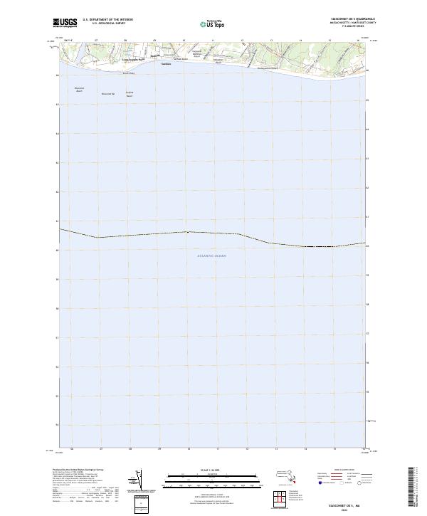
2012 Siasconset OE E
Nantucket County, MA
2012 Siasconset OE SE
Nantucket County, MA
2012 Siasconset OE S
Nantucket County, MA
2012 Tuckernuck Island
Nantucket County, MA
2015 Great Point
Nantucket County, MA
2015 Great Point OE E
Nantucket County, MA
2015 Nantucket
Nantucket County, MA
2015 Nantucket OE S
Nantucket County, MA
2015 Siasconset OE E
Nantucket County, MA
2015 Siasconset OE SE
Nantucket County, MA
2015 Siasconset OE S
Nantucket County, MA
2015 Tuckernuck Island
Nantucket County, MA
2018 Great Point
Nantucket County, MA
2018 Great Point OE E
Nantucket County, MA
2018 Nantucket
Nantucket County, MA
2018 Nantucket OE S
Nantucket County, MA
2018 Siasconset OE E
Nantucket County, MA
2018 Siasconset OE SE
Nantucket County, MA
2018 Siasconset OE S
Nantucket County, MA
2018 Tuckernuck Island
Nantucket County, MA
2021 Great Point
Nantucket County, MA
2021 Great Point OE E
Nantucket County, MA
2021 Nantucket
Nantucket County, MA
2021 Nantucket OE S
Nantucket County, MA
2021 Siasconset OE E
Nantucket County, MA
2021 Siasconset OE SE
Nantucket County, MA
2021 Siasconset OE S
Nantucket County, MA
2021 Tuckernuck Island
Nantucket County, MA
2024 Great Point
Nantucket County, MA
2024 Great Point OE E
Nantucket County, MA
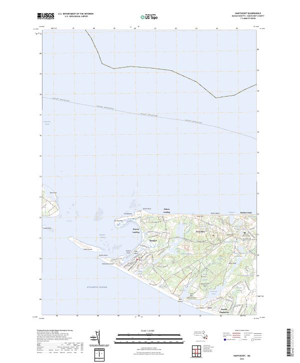
2024 Nantucket
Nantucket County, MA
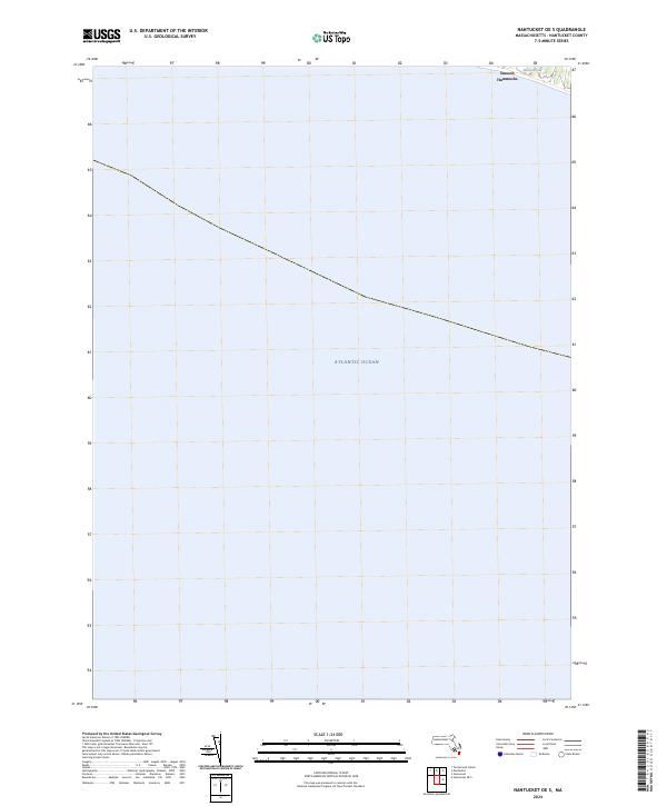
2024 Nantucket OE S
Nantucket County, MA
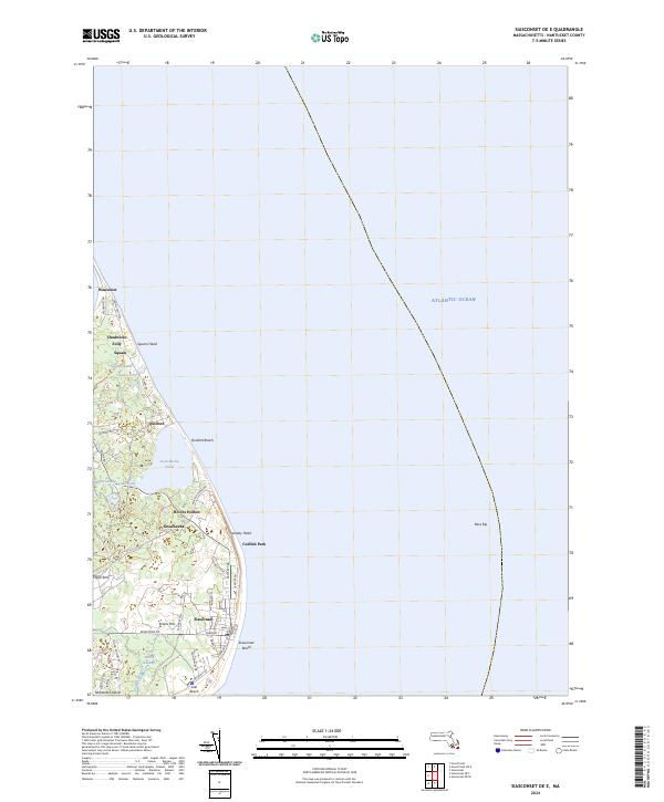
2024 Siasconset OE E
Nantucket County, MA
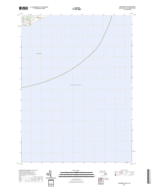
2024 Siasconset OE SE
Nantucket County, MA
2024 Siasconset OE S
Nantucket County, MA
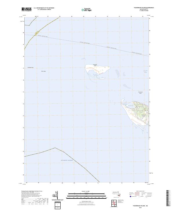
2024 Tuckernuck Island
Nantucket County, MA