
1899 Map of Muskeget
USGS Topo · Published 1899About this map
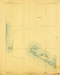
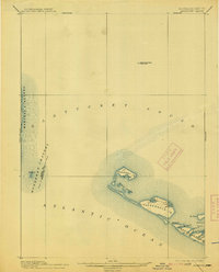
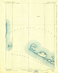
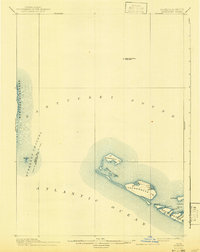
Muskeget Id. and Tuckernuck Id. anchor this maritime survey of the shoals and channels between Marthas Vineyard and Nantucket Id. at the end of the nineteenth century. The chart focuses on the shifting sands of the sound, identifying the isolated L.S.S. (Life-Saving Station) on Muskeget and the solitary Cross Rip Shoal Light Ship stationed in the open waters of Nantucket Sound.
Find a feature on this map
23 named features on this map. Tap any name to fly to it.
Don’t see what you’re looking for? This feature index may not catch every label — zoom into the map to look around manually.
Map Details
Editions of this 1899 Muskeget Map
5 editions found
Other maps of this area

1887 · Muskeget
USGS Topo · 1:62,500

1887 · Marthas Vineyard
USGS Topo · 1:62,500

1887 · Yarmouth
USGS Topo · 1:62,500

1889 · Muskeget
USGS Topo · 1:62,500

1889 · Yarmouth
USGS Topo · 1:62,500

1889 · Marthas Vineyard
USGS Topo · 1:62,500

1889 · Nantucket
USGS Topo · 1:62,500

1893 · Nantucket
USGS Topo · 1:62,500

1893 · Muskeget
USGS Topo · 1:62,500

1893 · Yarmouth
USGS Topo · 1:62,500