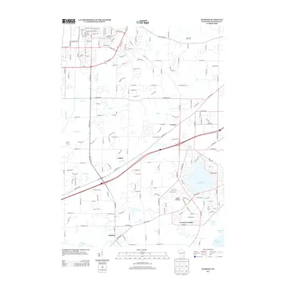
2013 Map of Muskego
USGS Topo · Published 2013About this map
Little Muskego Lake and the smaller Linnie Lac serve as the centerpiece for this portion of Waukesha County in the early 2010s, surrounded by established residential developments and unincorporated communities. The settlement of Prospect lies to the north of the lake, while Guthrie is positioned further west along the course of Mill Brook. The southern portion of the map is defined by the suburban clusters of Lake Forest and Woodcrest Heights, which sit just north of the larger Muskego Lake. Transport and recreation are prominent, seen in the presence of Faken Airport on the eastern edge and the sprawling Minooka Park to the north. The winding path of the Fox River cuts through the southwest corner near Big Bend, marking the transition from the lake-studded residential districts to the river valley terrain.
Find a feature on this map
168 named features on this map. Tap any name to fly to it.
Don’t see what you’re looking for? This feature index may not catch every label — zoom into the map to look around manually.
Map Details
Editions of this 2013 Muskego Map
This is the sole edition of this map. No revisions or reprints were ever made.
Other maps of this area

1891 · Muskego
USGS Topo · 1:62,500

1892 · Waukesha
USGS Topo · 1:62,500

1892 · Oconomowoc
USGS Topo · 1:62,500

1892 · Eagle
USGS Topo · 1:62,500

1894 · Eagle
USGS Topo · 1:62,500

1897 · Eagle
USGS Topo · 1:62,500

1901 · Waukesha
USGS Topo · 1:62,500

1901 · Muskego
USGS Topo · 1:62,500

1906 · Eagle
USGS Topo · 1:62,500

1906 · Waukesha
USGS Topo · 1:62,500