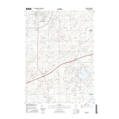
2016 Map of Muskego
USGS Topo · Published 2016About this map
The Little Muskego Lake and its larger namesake Muskego Lake anchor the southeastern corner of this Waukesha County landscape, where suburban expansion meets legacy agricultural tracts. In the center, the crossroads settlement of Guthrie sits near several significant burial grounds, including the Vernon United Presbyterian Cem and the Vernon Reformed Presbyterian Cem, reflecting the early spiritual life of the area. Further south, the village of Big Bend is situated along the banks of the Fox River, a primary drainage for the surrounding hills.
Find a feature on this map
189 named features on this map. Tap any name to fly to it.
Don’t see what you’re looking for? This feature index may not catch every label — zoom into the map to look around manually.
Map Details
Editions of this 2016 Muskego Map
This is the sole edition of this map. No revisions or reprints were ever made.
Other maps of this area

1891 · Muskego
USGS Topo · 1:62,500

1892 · Waukesha
USGS Topo · 1:62,500

1892 · Oconomowoc
USGS Topo · 1:62,500

1892 · Eagle
USGS Topo · 1:62,500

1894 · Eagle
USGS Topo · 1:62,500

1897 · Eagle
USGS Topo · 1:62,500

1901 · Waukesha
USGS Topo · 1:62,500

1901 · Muskego
USGS Topo · 1:62,500

1906 · Eagle
USGS Topo · 1:62,500

1906 · Waukesha
USGS Topo · 1:62,500