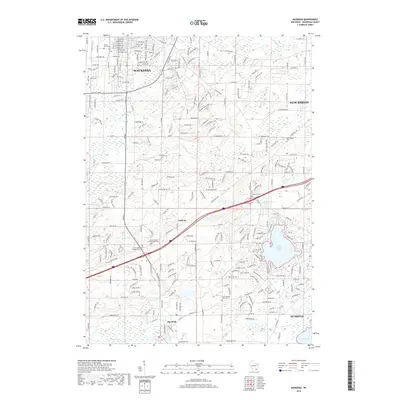
2018 Map of Muskego
USGS Topo · Published 2018About this map
Waukesha and its surrounding southeastern Wisconsin suburbs are characterized by a dense network of residential subdivisions and glacial water features in this 2018 survey. The landscape is defined by the significant presence of Little Muskego Lake and Muskego Lake, which historically drove the development of the region. Local genealogy is well-represented through several burial sites, including the Vernon United Presbyterian Cem and Vernon Reformed Presbyterian Cem near the small community of Guthrie.
Find a feature on this map
34 named features on this map. Tap any name to fly to it.
Don’t see what you’re looking for? This feature index may not catch every label — zoom into the map to look around manually.
Map Details
Editions of this 2018 Muskego Map
This is the sole edition of this map. No revisions or reprints were ever made.
Other maps of this area

1891 · Muskego
USGS Topo · 1:62,500

1892 · Waukesha
USGS Topo · 1:62,500

1892 · Oconomowoc
USGS Topo · 1:62,500

1892 · Eagle
USGS Topo · 1:62,500

1894 · Eagle
USGS Topo · 1:62,500

1897 · Eagle
USGS Topo · 1:62,500

1901 · Waukesha
USGS Topo · 1:62,500

1901 · Muskego
USGS Topo · 1:62,500

1906 · Eagle
USGS Topo · 1:62,500

1906 · Waukesha
USGS Topo · 1:62,500