
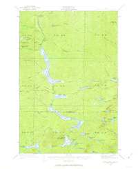
1932 Map of Musquacook Lakes
USGS Topo · Published 1932About this map
The First Musquacook Lake through Fifth Musquacook Lake form a dominant chain of water through this 1932 survey of the North Maine Woods. This advance sheet captures the region's wilderness character during the interwar period, emphasizing its importance for timber and early remote recreation. Logging infrastructure is evident through names like Howes Camp and the primitive transport network of the California Road and various routes labeled simply as Tote Road.
Find a feature on this map
59 named features on this map. Tap any name to fly to it.
Don’t see what you’re looking for? This feature index may not catch every label — zoom into the map to look around manually.
Map Details
Editions of this 1932 Musquacook Lakes Map
4 editions found
Other maps of this area

1931 · Fish River Lake
USGS Topo · 1:48,000

1931 · Mooseleuk Lake
USGS Topo · 1:48,000

1932 · Umsaskis Lake
USGS Topo · 1:48,000

1932 · Allagash Falls
USGS Topo · 1:48,000

1935 · Umsaskis Lake
USGS Topo · 1:62,500

1935 · Musquacook Lakes
USGS Topo · 1:62,500

1935 · Fish River Lake
USGS Topo · 1:62,500

1935 · Mooseleuk Lake
USGS Topo · 1:62,500

1935 · Allagash Falls
USGS Topo · 1:62,500

1954 · Spider Lake
USGS Topo · 1:62,500