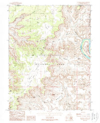
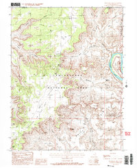
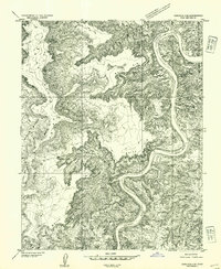
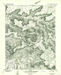
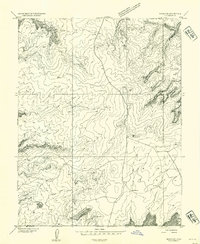
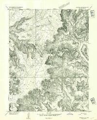
1988 Map of Musselman Arch
USGS Topo · Published 1988About this map
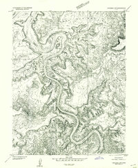
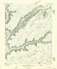
Canyonlands National Park and the sheer verticality of the White Rim dominate this 1988 survey, illustrating the complex geography of the Island in the Sky district. The map tracks the winding course of the Colorado River as it carves past the Goose Neck and enters Musselman Canyon. High above the river, the plateau features prominent landmarks such as the Washer Woman rock formation and the iconic Musselman Arch.
Find a feature on this map
35 named features on this map. Tap any name to fly to it.
Don’t see what you’re looking for? This feature index may not catch every label — zoom into the map to look around manually.
Map Details
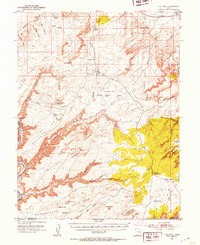
Editions of this 1988 Musselman Arch Map
2 editions found
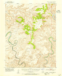
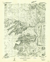
Other maps of this area

1885 · La Sal
USGS Topo · 1:250,000
1951 · The Knoll
USGS Topo · 1:62,500
1951 · Upheaval Dome
USGS Topo · 1:62,500
1952 · Carlisle 2 SE
USGS Topo · 1:24,000
1952 · Carlisle 2 NW
USGS Topo · 1:24,000
1952 · Moab 3 SE
USGS Topo · 1:24,000
1952 · Carlisle 2 NE
USGS Topo · 1:24,000
1952 · Carlisle 2 SW
USGS Topo · 1:24,000
1952 · Moab 3 SW
USGS Topo · 1:24,000
1952 · Moab 4 SW
USGS Topo · 1:24,000