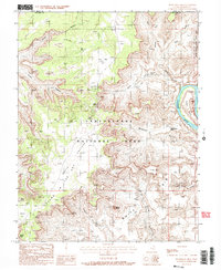
1988 Map of Musselman Arch
USGS Topo · Published 1988About this map
Canyonlands National Park and the high plateau of Island in the Sky dominate this 1988 landscape, where vertical relief defines the settlement pattern. This era shows the developed infrastructure of the park, including a Visitor Center, Heliport, and Airport Tower situated near The Neck. The map reveals the dramatic transition from the plateau down to the White Rim and the Colorado River below, capturing the primitive 4WD road network that provided access to the backcountry. Notable geological features like Musselman Arch, Mesa Arch, and the isolated spire of Washer Woman are precisely located alongside several prospect sites, reflecting both the recreational and extractive history of the San Juan County high desert. The survey also traces the winding course of the river through the Goose Neck as it enters Shafer Canyon.
Find a feature on this map
34 named features on this map. Tap any name to fly to it.
Don’t see what you’re looking for? This feature index may not catch every label — zoom into the map to look around manually.
Map Details
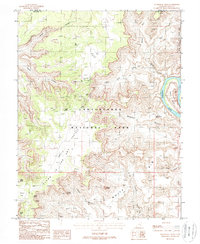
Editions of this 1988 Musselman Arch Map
2 editions found
Other maps of this area

1885 · La Sal
USGS Topo · 1:250,000

1951 · The Knoll
USGS Topo · 1:62,500

1951 · Upheaval Dome
USGS Topo · 1:62,500

1952 · Carlisle 2 SE
USGS Topo · 1:24,000

1952 · Carlisle 2 NW
USGS Topo · 1:24,000

1952 · Moab 3 SE
USGS Topo · 1:24,000

1952 · Carlisle 2 NE
USGS Topo · 1:24,000

1952 · Carlisle 2 SW
USGS Topo · 1:24,000

1952 · Moab 3 SW
USGS Topo · 1:24,000

1952 · Moab 4 SW
USGS Topo · 1:24,000