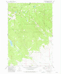
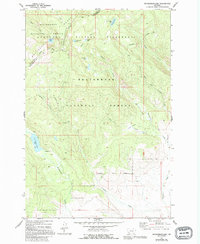
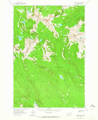
1977 Map of Mussigbrod Lake
USGS Topo · Published 1977About this map
The Continental Divide carves through this high-elevation landscape where the Bitterroot Range meets the Anaconda Pintlar Wilderness. This 1970s survey captures a pristine alpine environment dominated by a network of high-country lakes, including Hope Lake, Continental Lake, and Crystal Lake. The presence of a Forest Service Station near Mystic Lake and a campground at the edge of Mussigbrod Lake indicates the area's role as a managed recreational and wilderness corridor at the boundary of the Beaverhead and Bitterroot National Forests.
Find a feature on this map
34 named features on this map. Tap any name to fly to it.
Don’t see what you’re looking for? This feature index may not catch every label — zoom into the map to look around manually.
Map Details
Editions of this 1977 Mussigbrod Lake Map
2 editions found
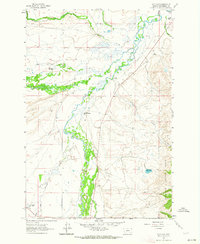
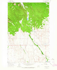
Other maps of this area

1955 · Dillon
USGS Topo · 1:250,000

1957 · Dillon
USGS Topo · 1:250,000

1958 · Dillon
USGS Topo · 1:250,000

1962 · Dillon
USGS Topo · 1:250,000
1962 · Mud Lake
USGS Topo · 1:24,000
1962 · Pintlar Lake
USGS Topo · 1:24,000
1962 · Warren Peak
USGS Topo · 1:24,000

1965 · Dillon
USGS Topo · 1:250,000
1966 · Gibbons School
USGS Topo · 1:24,000
1966 · Big Hole Battlefield
USGS Topo · 1:24,000