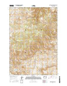
2017 Map of Mutton Mountain
USGS Topo · Published 2017About this map
Mutton Mountains dominate this high-desert landscape in Wasco County, punctuated by prominent landforms such as Shaniko Butte and the deep relief of Indian Head Canyon. The area is characterized by its drainage network, with seasonal and perennial flows including Quartz Cr, Skookum Cr, and Eagle Cr cutting through the complex topography. Historically significant water sources are scattered throughout the hills, marked by Eagle Springs, Little Fawn Spring, and Mutton Mountain Spring. A dense network of primitive roads, such as Mutton Mtn Rd and Simnasho-Hot Springs Rd, provides the primary access across the rugged terrain, while the distinctive Hellgate canyon feature marks the southern reaches of this transition between the plateau and the river canyons. The map preserves the late-period infrastructure of these rural lands, showing the intersection of natural springs and the remote roads that connect them.
Find a feature on this map
44 named features on this map. Tap any name to fly to it.
Don’t see what you’re looking for? This feature index may not catch every label — zoom into the map to look around manually.
Map Details
Editions of this 2017 Mutton Mountain Map
This is the sole edition of this map. No revisions or reprints were ever made.
Other maps of this area

1928 · Madras
USGS Topo · 1:125,000

1930 · Dufur
USGS Topo · 1:125,000

1931 · Madras
USGS Topo · 1:125,000

1934 · Dufur
USGS Topo · 1:125,000

1953 · The Dalles
USGS Topo · 1:250,000

1955 · Bend
USGS Topo · 1:250,000

1956 · The Dalles
USGS Topo · 1:250,000

1957 · Bend
USGS Topo · 1:250,000

1957 · The Dalles
USGS Topo · 1:250,000

1958 · Bend
USGS Topo · 1:250,000