
1956 Map of Myakka City
USGS Topo · Published 1957About this map
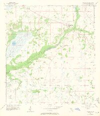
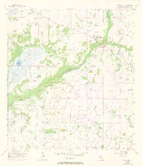
Myakka City and the surrounding cattle country of eastern Manatee County are defined by an intricate network of wetlands and drainage patterns in the mid-1950s. The Myakka River meanders through the center of the sheet, bordered by broad floodplains and the expansive Tatum Sawgrass marsh. This area, largely used for ranching and agriculture, shows a landscape where water management is critical, evidenced by named drainage features like Tatum Gully and Island Slough.
Find a feature on this map
18 named features on this map. Tap any name to fly to it.
Don’t see what you’re looking for? This feature index may not catch every label — zoom into the map to look around manually.
Map Details
Editions of this 1956 Myakka City Map
3 editions found
Other maps of this area

1944 · Lower Myakka Lake
USGS Topo · 1:31,680

1944 · Verna
USGS Topo · 1:31,680

1944 · Miakka
USGS Topo · 1:31,680

1956 · Edgeville
USGS Topo · 1:24,000

1956 · Myakka City NW
USGS Topo · 1:24,000

1956 · Murdock NE
USGS Topo · 1:24,000

1956 · Myakka Head
USGS Topo · 1:24,000

1956 · Murdock NW
USGS Topo · 1:24,000

1956 · Tampa
USGS Topo · 1:250,000

1959 · Tampa
USGS Topo · 1:250,000