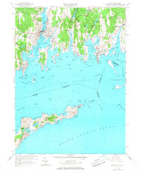
1958 Map of Mystic
USGS Topo · Published 1968About this map
The maritime landscape of coastal Connecticut and New York is defined by a series of rocky points and sheltered coves in the late 1950s. The Mystic River serves as the focal point for regional activity, bordering Mystic Seaport and the settled areas of Mystic and West Mystic. To the south, the map details the rugged coastline of Fishers Island, including isolated landmarks such as Fishers Cem and Brickyard Pond.
Find a feature on this map
77 named features on this map. Tap any name to fly to it.
Don’t see what you’re looking for? This feature index may not catch every label — zoom into the map to look around manually.
Map Details
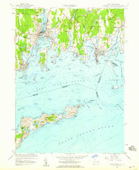
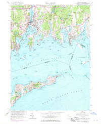
Editions of this 1958 Mystic Map
Other maps of this area

1889 · Stonington
USGS Topo · 1:62,500

1892 · New London
USGS Topo · 1:62,500

1893 · Stonington
USGS Topo · 1:62,500

1893 · New London
USGS Topo · 1:62,500

1903 · Gardiners Island
USGS Topo · 1:62,500

1904 · Gardiners Island
USGS Topo · 1:62,500

1904 · Montauk
USGS Topo · 1:62,500

1921 · Gardiners Island
USGS Topo · 1:62,500

1921 · New London
USGS Topo · 1:62,500

1921 · Stonington
USGS Topo · 1:62,500