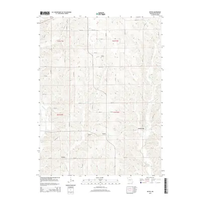
2015 Map of Mystic
USGS Topo · Published 2015About this map
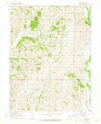
Mystic and Sticklerville anchor this Sullivan County landscape, situated where the rolling uplands meet the winding course of the Mussel Fork. The area's rural character is defined by a traditional township grid, with small clusters of development like Owasco connected by an extensive network of secondary roads such as Pond Rd and Rose Rd. The terrain is deeply carved by water, with E Yellow Cr and W Yellow Cr draining the western reaches.
Find a feature on this map
46 named features on this map. Tap any name to fly to it.
Don’t see what you’re looking for? This feature index may not catch every label — zoom into the map to look around manually.
Map Details
Editions of this 2015 Mystic Map
This is the sole edition of this map. No revisions or reprints were ever made.
Other maps of this area

1912 · Green City
USGS Topo · 1:62,500

1914 · Green City
USGS Topo · 1:62,500

1954 · Centerville
USGS Topo · 1:250,000

1957 · Centerville
USGS Topo · 1:250,000

1958 · Centerville
USGS Topo · 1:250,000

1963 · Pure Air
USGS Topo · 1:24,000
1963 · Nind
USGS Topo · 1:24,000
1963 · Mystic
USGS Topo · 1:24,000
1963 · Winigan
USGS Topo · 1:24,000
1964 · Milan SE
USGS Topo · 1:24,000