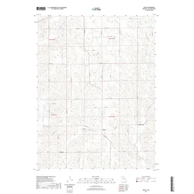
2017 Map of Mystic
USGS Topo · Published 2017About this map
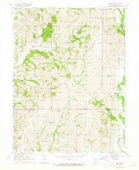
Mystic serves as the focal point of this Sullivan County landscape, situated near the intersection of State Hwy H and Thimble Rd. The terrain is defined by a dense network of winding watercourses, most notably the Mussel Fork which serpentines through the eastern portion of the quadrangle. Other smaller drainages, including E Yellow Cr and John Br, carve through the rolling agricultural lands.
Find a feature on this map
48 named features on this map. Tap any name to fly to it.
Don’t see what you’re looking for? This feature index may not catch every label — zoom into the map to look around manually.
Map Details
Editions of this 2017 Mystic Map
This is the sole edition of this map. No revisions or reprints were ever made.
Other maps of this area

1912 · Green City
USGS Topo · 1:62,500

1914 · Green City
USGS Topo · 1:62,500

1954 · Centerville
USGS Topo · 1:250,000

1957 · Centerville
USGS Topo · 1:250,000

1958 · Centerville
USGS Topo · 1:250,000

1963 · Pure Air
USGS Topo · 1:24,000
1963 · Nind
USGS Topo · 1:24,000
1963 · Mystic
USGS Topo · 1:24,000
1963 · Winigan
USGS Topo · 1:24,000
1964 · Milan SE
USGS Topo · 1:24,000