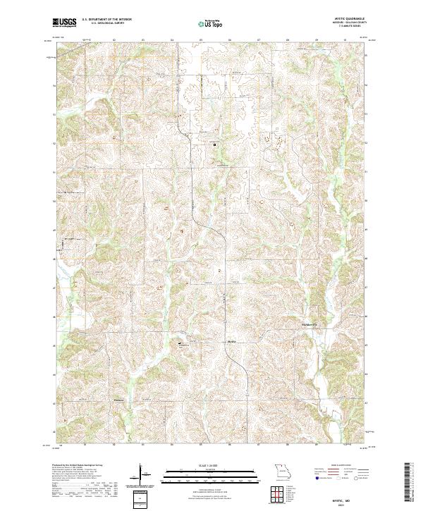
2021 Map of Mystic
USGS Topo · Published 2021About this map
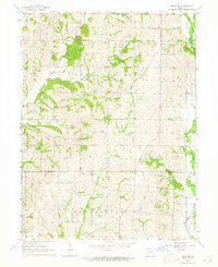
Mystic and Sticklerville occupy the high ground between the meandering drainages of north-central Missouri. This landscape is defined by the headwaters of Mussel Fork and E Yellow Creek, where the terrain transitions from broad upland ridges used for agriculture into the more complex, dissected valleys of the W Yellow Creek watershed. The rural character of Sullivan County is visible in the network of farm-to-market roads, including State Hwy H and State Hwy C, which connect isolated farmsteads and small crossroads communities.
Find a feature on this map
43 named features on this map. Tap any name to fly to it.
Don’t see what you’re looking for? This feature index may not catch every label — zoom into the map to look around manually.
Map Details
Editions of this 2021 Mystic Map
This is the sole edition of this map. No revisions or reprints were ever made.
Other maps of this area

1912 · Green City
USGS Topo · 1:62,500

1914 · Green City
USGS Topo · 1:62,500

1954 · Centerville
USGS Topo · 1:250,000

1957 · Centerville
USGS Topo · 1:250,000

1958 · Centerville
USGS Topo · 1:250,000

1963 · Pure Air
USGS Topo · 1:24,000
1963 · Nind
USGS Topo · 1:24,000
1963 · Mystic
USGS Topo · 1:24,000
1963 · Winigan
USGS Topo · 1:24,000
1964 · Milan SE
USGS Topo · 1:24,000