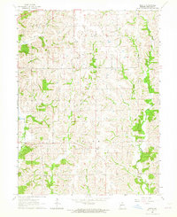
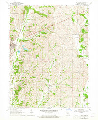
1963 Map of Mystic
USGS Topo · Published 1965About this map
Yellow Creek and its many tributaries, including East Yellow Creek and John Branch, carve through the rural landscape of Sullivan County in the early 1960s. This survey illustrates a quiet agricultural region defined by the small hamlets of Mystic, Sticklerville, and Owasco. The area is largely organized into Penn and Union townships, where local life centered around remote country landmarks.
Find a feature on this map
14 named features on this map. Tap any name to fly to it.
Don’t see what you’re looking for? This feature index may not catch every label — zoom into the map to look around manually.
Map Details
Editions of this 1963 Mystic Map
This is the sole edition of this map. No revisions or reprints were ever made.
Other maps of this area

1912 · Green City
USGS Topo · 1:62,500

1914 · Green City
USGS Topo · 1:62,500

1954 · Centerville
USGS Topo · 1:250,000

1957 · Centerville
USGS Topo · 1:250,000

1958 · Centerville
USGS Topo · 1:250,000

1963 · Pure Air
USGS Topo · 1:24,000
1963 · Nind
USGS Topo · 1:24,000
1963 · Winigan
USGS Topo · 1:24,000
1964 · Milan SE
USGS Topo · 1:24,000
1964 · Milan East
USGS Topo · 1:24,000