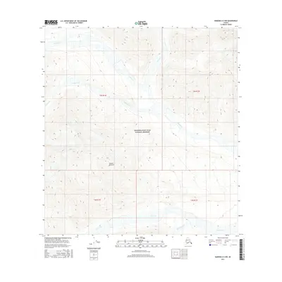
2016 Map of Nabesna A-3 NW
USGS Topo · Published 2016About this map
Wrangell-Saint Elias National Preserve encompasses most of this high-altitude landscape, dominated by the peaks and valleys of the Wrangell Mountains. The survey reveals a complex drainage network where glacial meltwater feeds into deep-cut watercourses such as Notch Creek and Star Creek in the north, and Cross Creek in the south. The terrain is characterized by steep contour gradients, illustrating the transition from alpine ridges to braided stream beds in the valley floors. In the western portion of the quadrangle, William Creek flows through the township of t5n r16e, providing a clear record of the watershed patterns in this protected Alaskan wilderness. This 2016 topographic study utilizes data from the National Hydrography Dataset and the Alaska Department of Transportation to map the region's natural boundaries.
Find a feature on this map
12 named features on this map. Tap any name to fly to it.
Don’t see what you’re looking for? This feature index may not catch every label — zoom into the map to look around manually.
Map Details
Editions of this 2016 Nabesna A-3 NW Map
This is the sole edition of this map. No revisions or reprints were ever made.
Other maps of this area

1950 · Nabesna
USGS Topo · 1:250,000

1951 · Nabesna
USGS Topo · 1:250,000

1959 · Nabesna A-4
USGS Topo · 1:63,360

1960 · Nabesna B-4
USGS Topo · 1:63,360

1960 · Nabesna A-3
USGS Topo · 1:63,360

1960 · Nabesna
USGS Topo · 1:250,000

1960 · Nabesna B-3
USGS Topo · 1:63,360
2016 · Nabesna B-3 SE
USGS Topo · 1:25,000
2016 · Nabesna B-4 SE
USGS Topo · 1:25,000
2016 · Nabesna A-4 NE
USGS Topo · 1:25,000