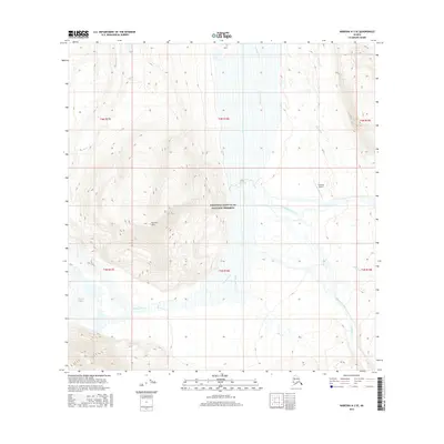
2016 Map of Nabesna A-3 SE
USGS Topo · Published 2016About this map
Wrangell-Saint Elias National Preserve encompasses most of this landscape, dominated by the massive Chisana River valley. The river system is fed by the Chisana Glacier in the southwest and joined by several significant tributaries, including Chathenda Creek and Geohenda Creek. The topography is defined by the prominent Euchre Mtn, which rises sharply between the glacial flows and mountain streams.
Find a feature on this map
19 named features on this map. Tap any name to fly to it.
Don’t see what you’re looking for? This feature index may not catch every label — zoom into the map to look around manually.
Map Details
Editions of this 2016 Nabesna A-3 SE Map
This is the sole edition of this map. No revisions or reprints were ever made.
Other maps of this area

1950 · Nabesna
USGS Topo · 1:250,000

1951 · McCarthy
USGS Topo · 1:250,000

1951 · Nabesna
USGS Topo · 1:250,000

1959 · McCarthy D-3
USGS Topo · 1:63,360

1960 · Nabesna A-3
USGS Topo · 1:63,360

1960 · Nabesna A-2
USGS Topo · 1:63,360

1960 · Nabesna
USGS Topo · 1:250,000

1960 · McCarthy D-4
USGS Topo · 1:63,360

1960 · McCarthy
USGS Topo · 1:250,000
2016 · Nabesna A-2 NW
USGS Topo · 1:25,000