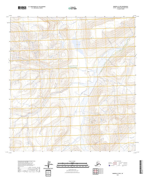
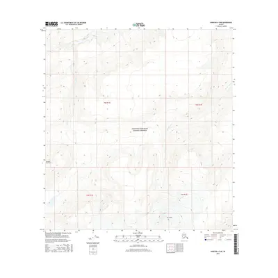
2023 Map of Nabesna A-5 NW
USGS Topo · Published 2023About this map
The Wrangell Mountains dominate this high-latitude terrain within the Wrangell-Saint Elias National Preserve and the Wrangell-St. Elias Wilderness. The landscape is defined by its glacial hydrology, where Grizzly Lake sits as a central feature amidst a network of drainage systems. Water flows through the steep relief via Goat Creek and the braided path of Jacksina Creek, illustrating the raw natural state of this protected interior region. Further south, Tumble Creek and Mesa Creek carve through the mountain slopes, marking the topography of a wilderness untouched by industrial development or permanent settlement. This modern survey provides a precise view of the complex contours and water bodies that define the eastern Alaskan interior.
Find a feature on this map
14 named features on this map. Tap any name to fly to it.
Don’t see what you’re looking for? This feature index may not catch every label — zoom into the map to look around manually.
Map Details
Editions of this 2023 Nabesna A-5 NW Map
This is the sole edition of this map. No revisions or reprints were ever made.
Other maps of this area

1950 · Nabesna
USGS Topo · 1:250,000

1951 · Nabesna
USGS Topo · 1:250,000

1959 · Nabesna A-6
USGS Topo · 1:63,360

1959 · Nabesna A-5
USGS Topo · 1:63,360

1960 · Nabesna B-5
USGS Topo · 1:63,360

1960 · Nabesna
USGS Topo · 1:250,000
1960 · Nabesna B-6
USGS Topo · 1:63,360
2016 · Nabesna A-5 NW
USGS Topo · 1:25,000
2016 · Nabesna B-5 SE
USGS Topo · 1:25,000
2016 · Nabesna A-5 NE
USGS Topo · 1:25,000