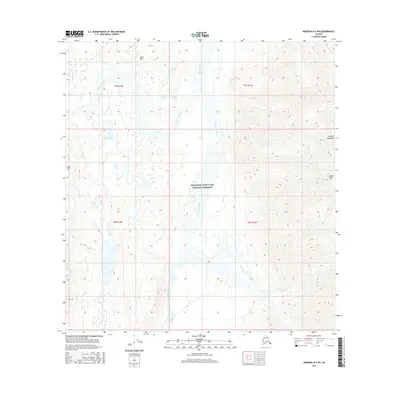
2016 Map of Nabesna B-4 SW
USGS Topo · Published 2016About this map
The Nabesna River corridor dominates this remote Alaskan landscape within the Wrangell-Saint Elias National Preserve. This 2016 survey documents a complex network of glacial meltwater and alpine lakes, including Whitham Lake, Virginia Lake, and Christy Lake, gathered at the base of high mountain ridges. The terrain transitions from the low-lying wetlands of the river valley to the steep slopes of the Wrangell Mountains, marked by prominent landmarks like Keenan Peak and the Raven Hills. To the west, Gold Hill stands as a distinct topographical feature overlooking the braided channels of Fish Cr and Jacksina Creek. This map is primarily a study of undisturbed wilderness, illustrating the natural drainage patterns and high-altitude topography of the eastern Alaska Range before human development or infrastructure altered the drainage basins.
Find a feature on this map
21 named features on this map. Tap any name to fly to it.
Don’t see what you’re looking for? This feature index may not catch every label — zoom into the map to look around manually.
Map Details
Editions of this 2016 Nabesna B-4 SW Map
This is the sole edition of this map. No revisions or reprints were ever made.
Other maps of this area

1950 · Nabesna
USGS Topo · 1:250,000

1951 · Nabesna
USGS Topo · 1:250,000

1959 · Nabesna A-4
USGS Topo · 1:63,360

1959 · Nabesna A-5
USGS Topo · 1:63,360

1960 · Nabesna B-4
USGS Topo · 1:63,360

1960 · Nabesna B-5
USGS Topo · 1:63,360

1960 · Nabesna
USGS Topo · 1:250,000
2016 · Nabesna A-4 NW
USGS Topo · 1:25,000
2016 · Nabesna B-4 NW
USGS Topo · 1:25,000
2016 · Nabesna B-4 SE
USGS Topo · 1:25,000